AIAI for Architecture

3D to 2D models back into drawings.

Turn renderings and photos back into elevations, plans and CAD-style drawings. Photo to Elevation (or CAD), Front and Side View, Perspective to Plan.

3 lessons7 examples7 prompts
3D to 2D

Photo to Elevation (or CAD)

✦ Before → After4 examplesExample 01 · FreeOpen lesson →
Example 01
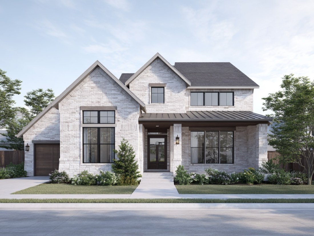
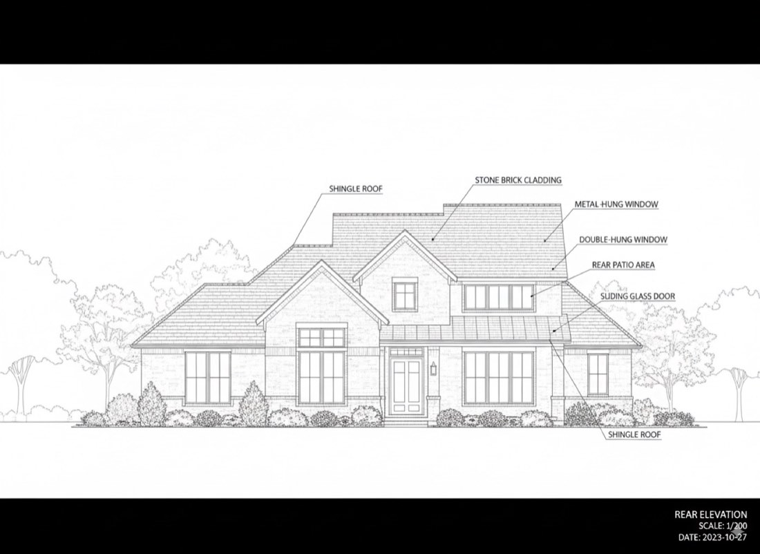
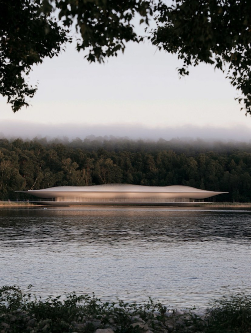
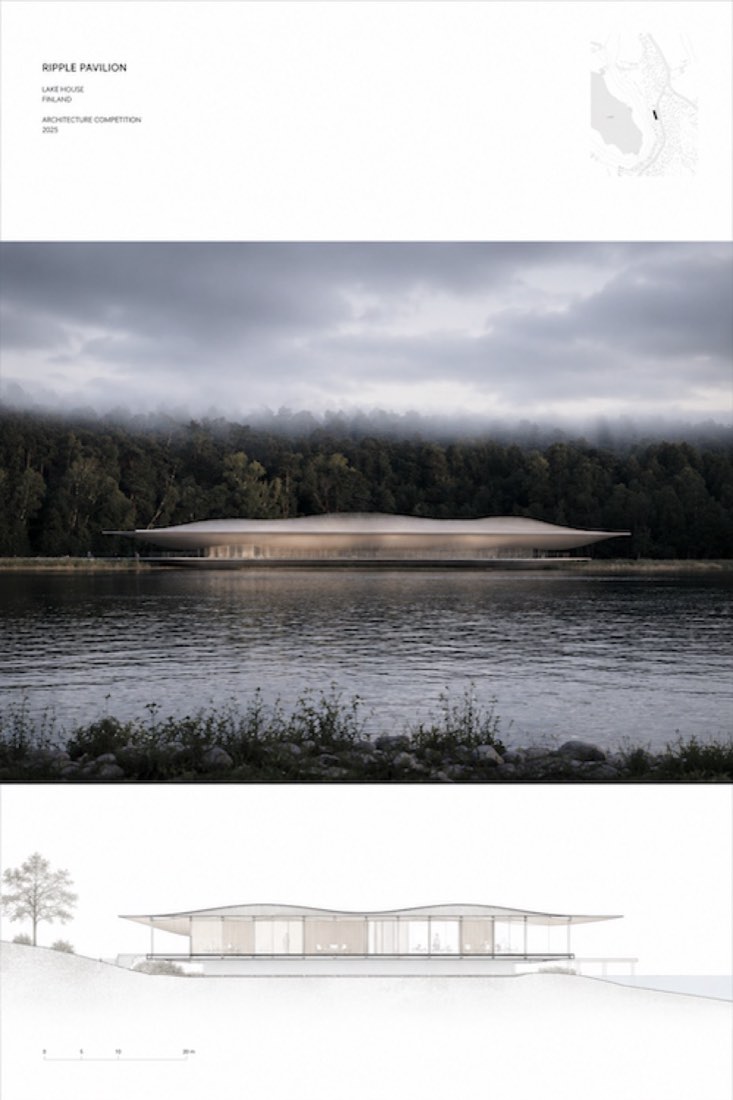
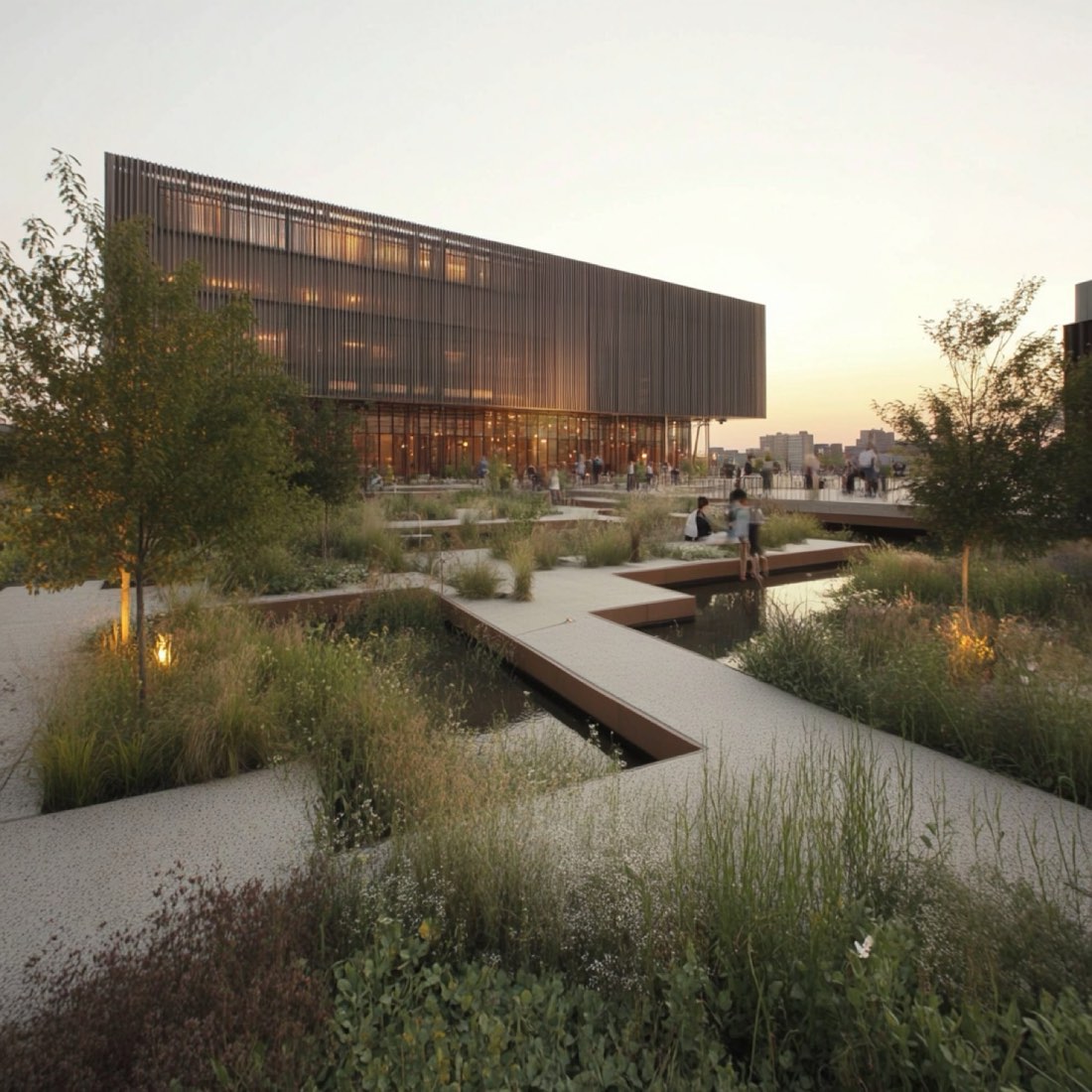
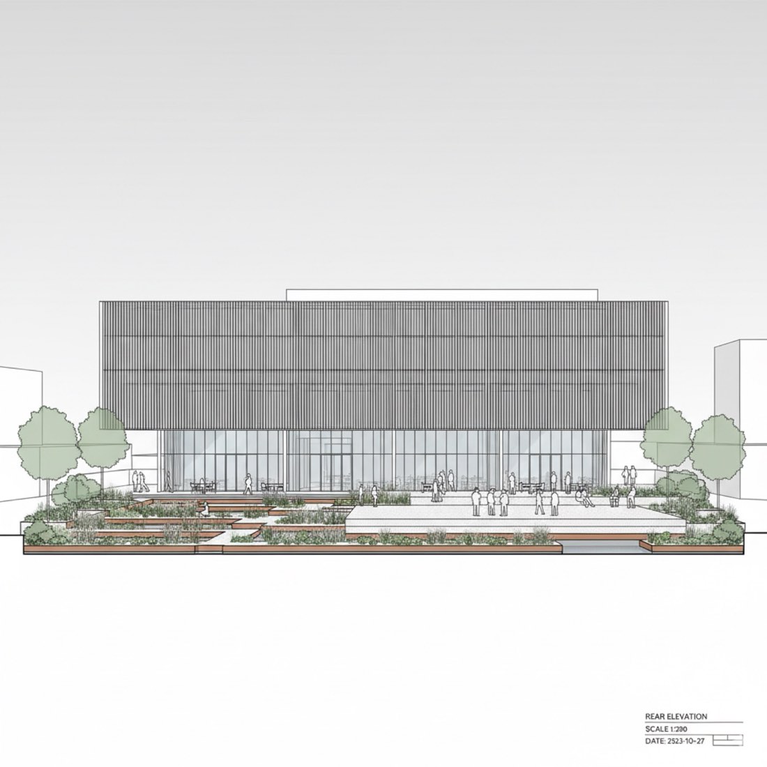
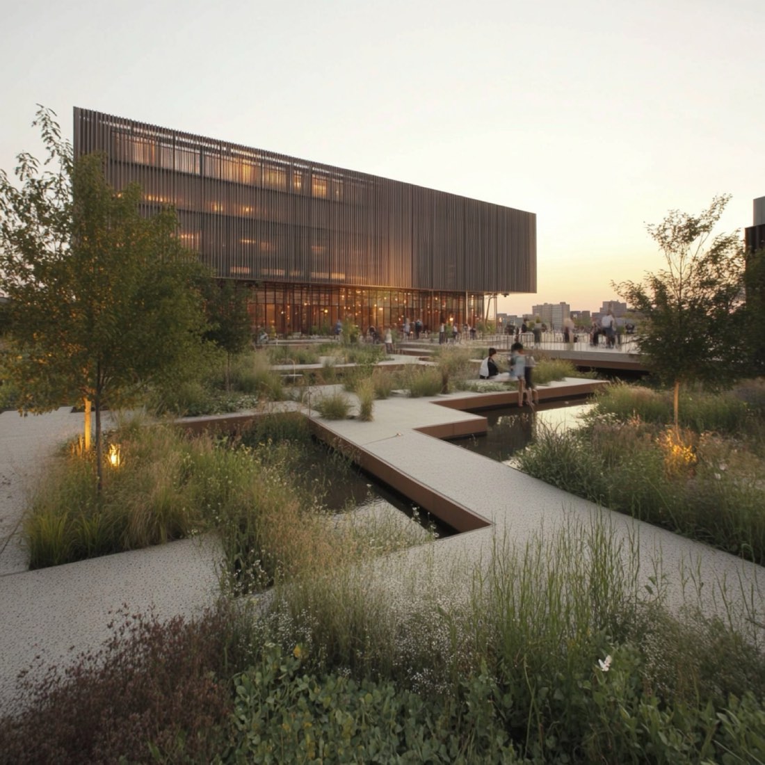
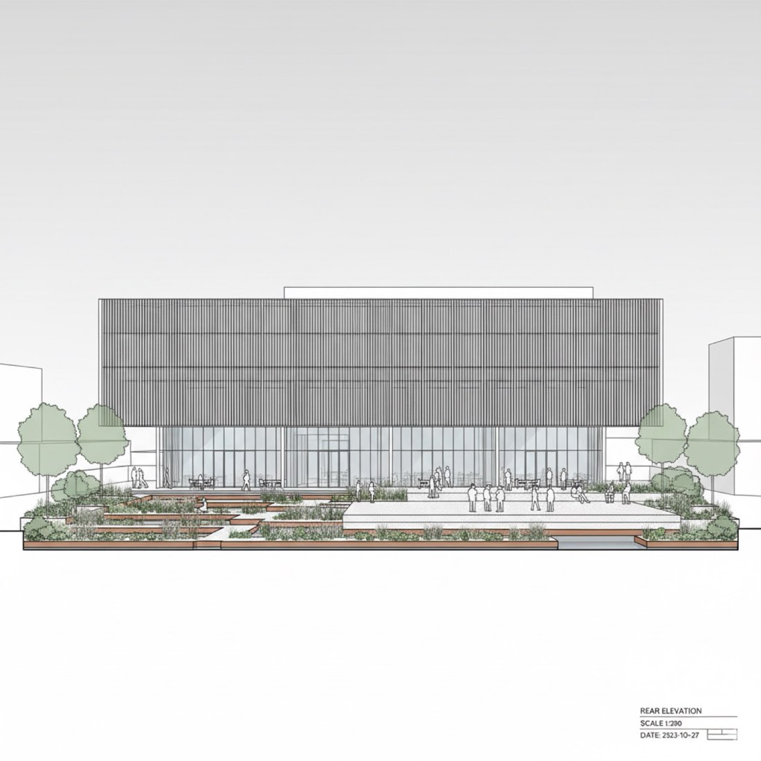
Photo to Elevation (or CAD) – Example 1: Rendering/PhotoPhoto to Elevation (or CAD) – Example 1: Nano Banana
Rendering/PhotoNano Banana

Rendering/Photo → Nano Banana → ChatGPT

Note · Free prompt

You can ask ChatGPT to generate svg or dwg file for you further. Therefore, you can open the file with AutoCAD or Adobe Illustrator.

你还可以让 ChatGPT 进一步为你生成 svg 或 dwg 文件,这样就能用 AutoCAD 或 Adobe Illustrator 打开。

3D to 2D

Front and Side View

✦ Before → After2 examplesExample 01 · FreeOpen lesson →
Example 01
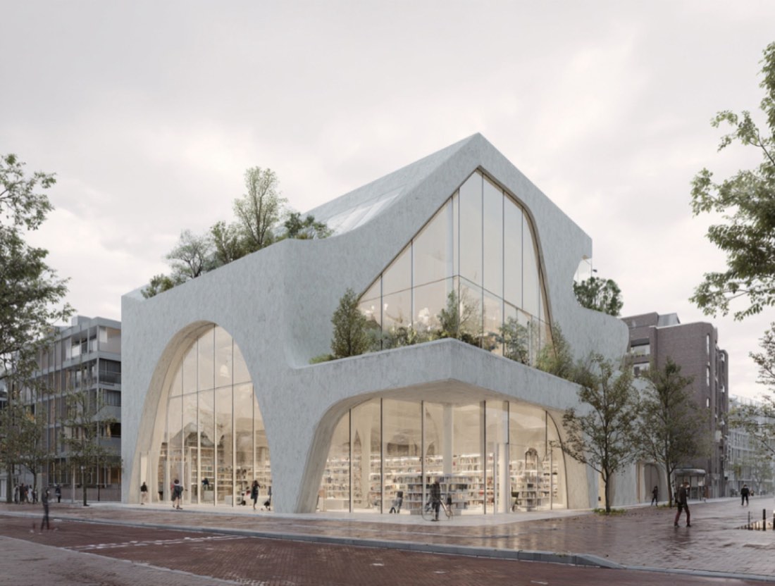
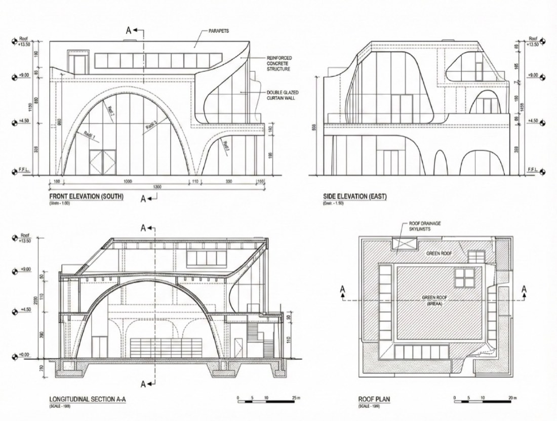
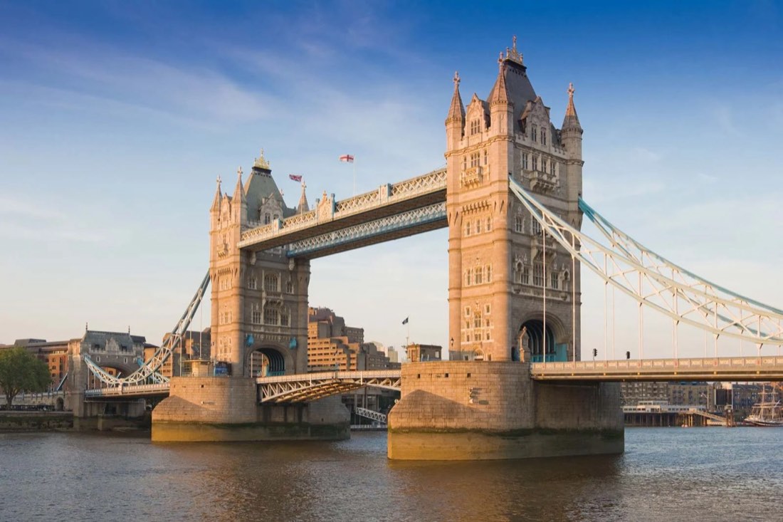
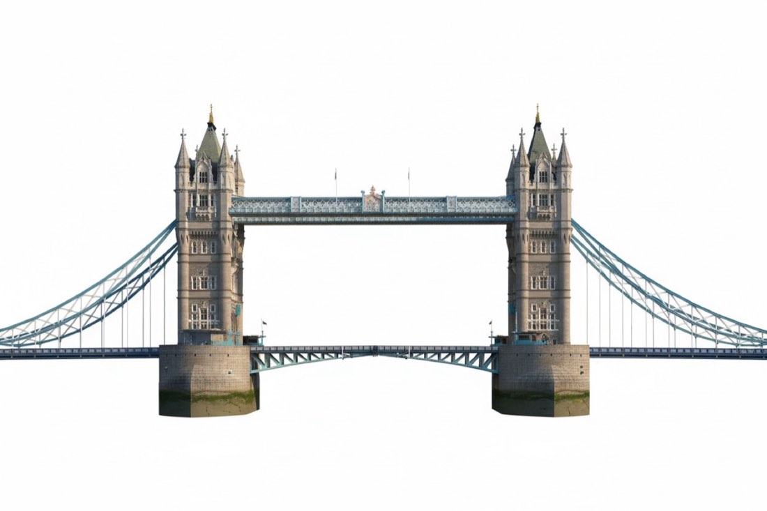
Front and Side View – Example 1: BeforeFront and Side View – Example 1: Nano Banana
BeforeNano Banana

Nano Banana → Nano Banana

Prompt · Free prompt

Based on the photo, generate front and side views of the building. White background.

根据照片,生成这栋建筑的正立面和侧立面。白色背景。

3D to 2D

Perspective to Plan

✦ Before → After1 examplesExample 01 · FreeOpen lesson →
Example 01
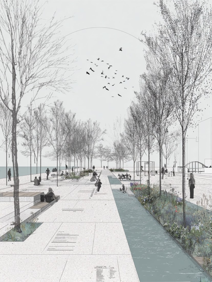
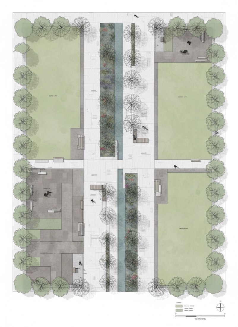
Perspective to Plan – Example 1: BeforePerspective to Plan – Example 1: Nano Banana
BeforeNano Banana

Nano Banana → ChatGPT

Prompt · Free prompt

Based on the provided landscape perspective, generate a detailed landscape architecture masterplan for a 200 x 500 meter site. Maintain the spatial organization and design features from the perspective view but reinterpret them in a top-down, scaled masterplan format. Include major program zones such as lawns, plazas, tree-lined walkways, water features, seating areas, and planting beds. Use clean geometry with a modern, minimal layout. Paths should reflect circulation patterns; add trees, shaded areas, and open lawn zones proportionally. Use a soft natural color palette with clear zone distinction, suitable for a professional presentation or competition board.

根据提供的景观透视图,为一块 200 x 500 米的场地生成详细的景观总平面图。保持透视图中的空间组织和设计特征,但以按比例的顶视总平面形式重新表达。包括草坪、广场、林荫步道、水景、休息区和种植池等主要功能区。几何干净,布局现代简洁。道路应反映交通流线;按比例加入树木、遮阴区和开放草坪。使用柔和的自然配色,分区清晰,适合专业汇报或竞赛展板。

Get every prompt in the library

218 tested prompts, 210 worked examples and 423 before/after images for Nano Banana and ChatGPT, plus the 291-page bilingual PDF guide.
Get the full library