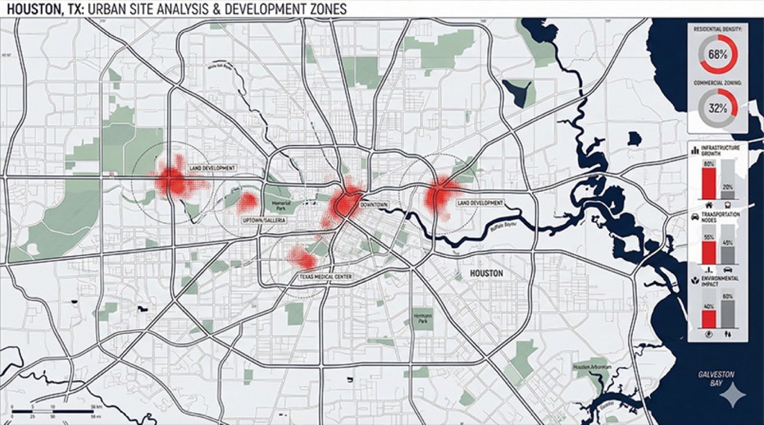
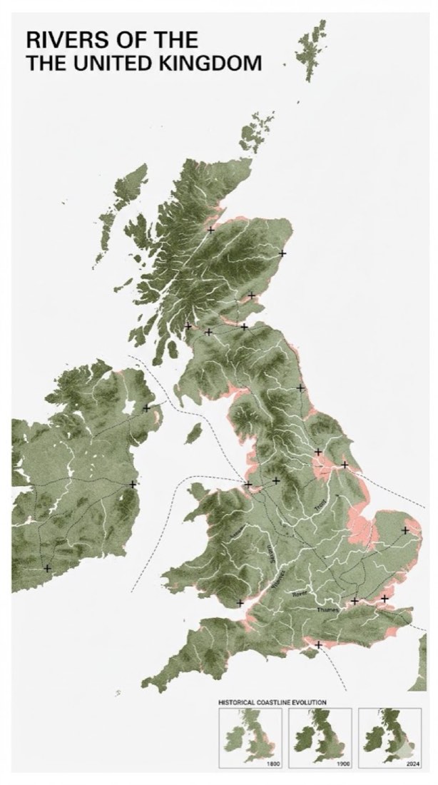
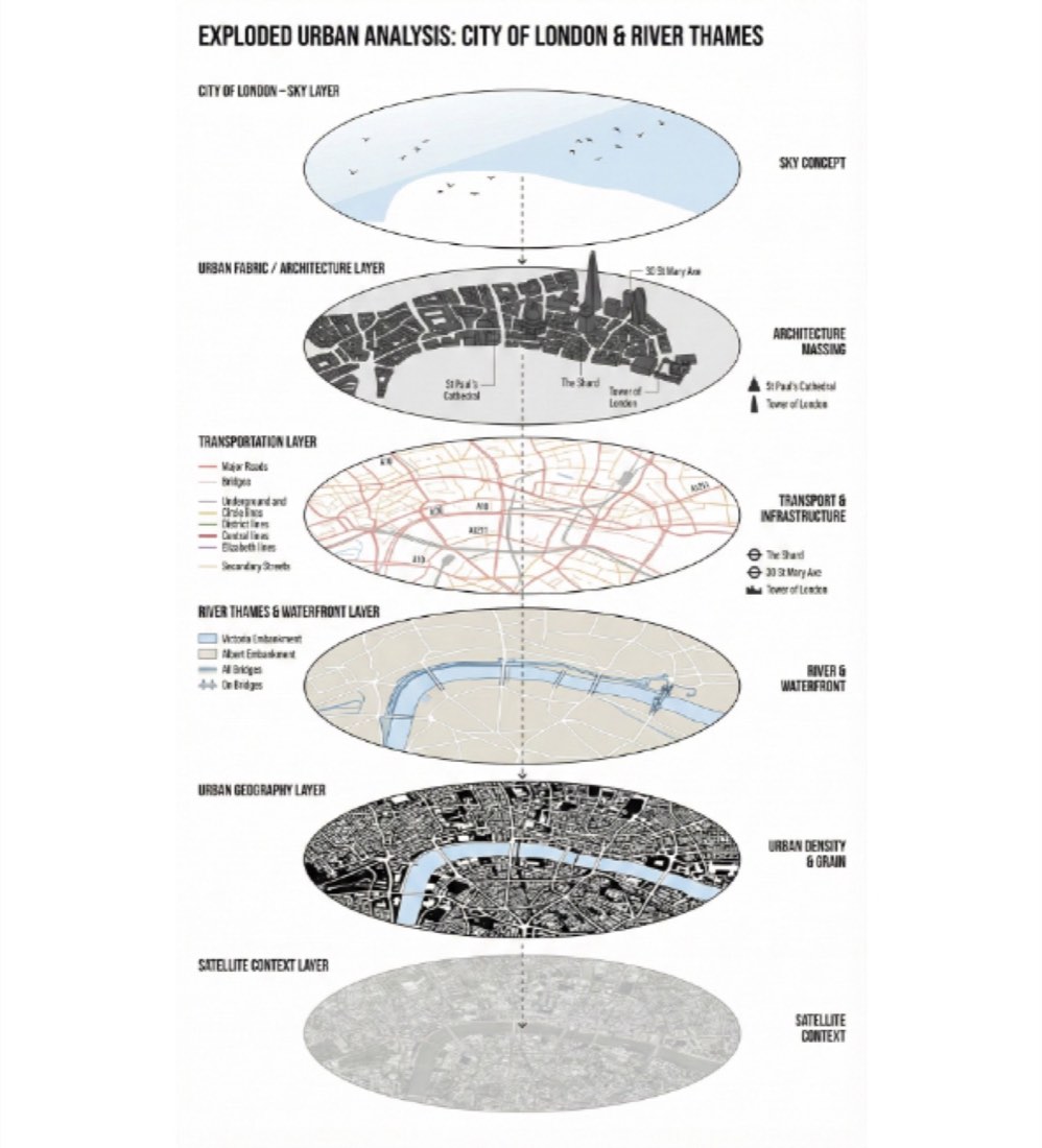
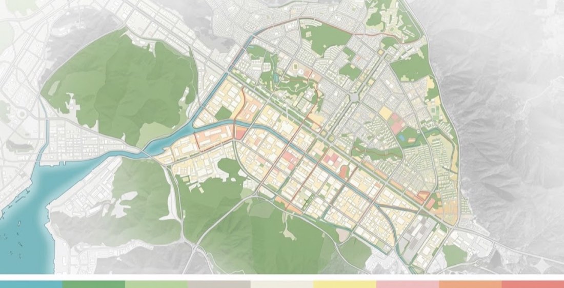
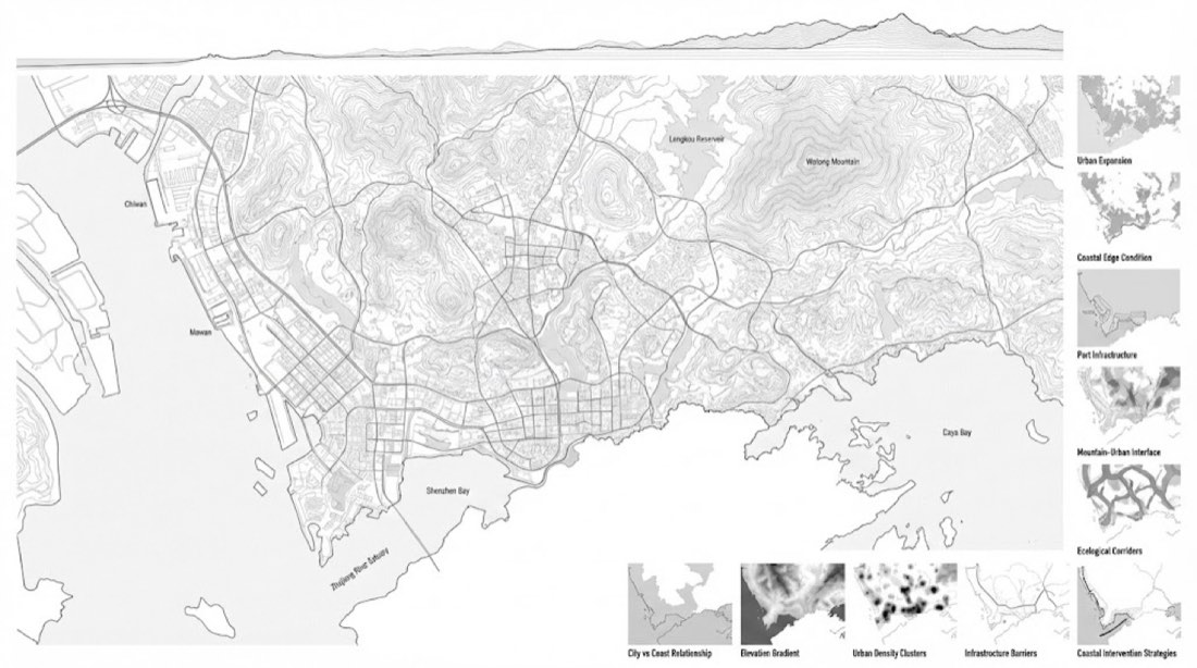
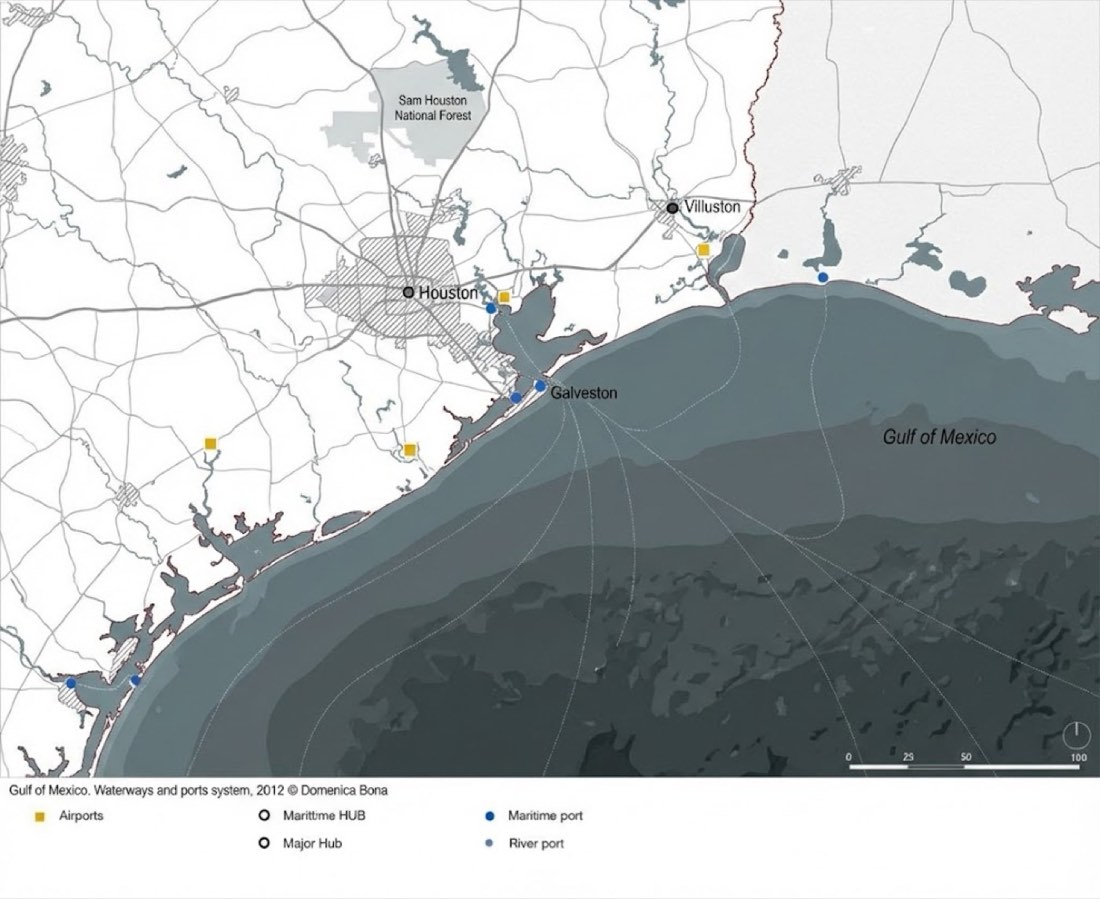
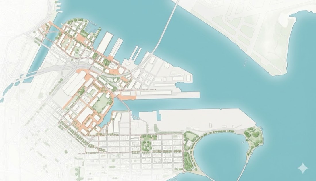
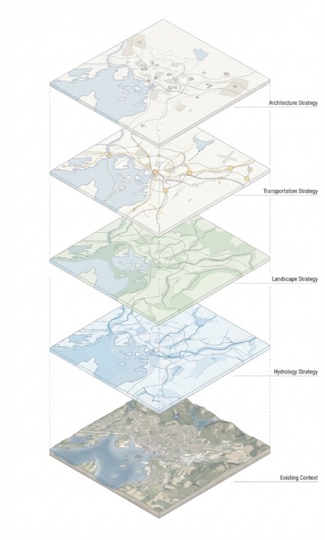
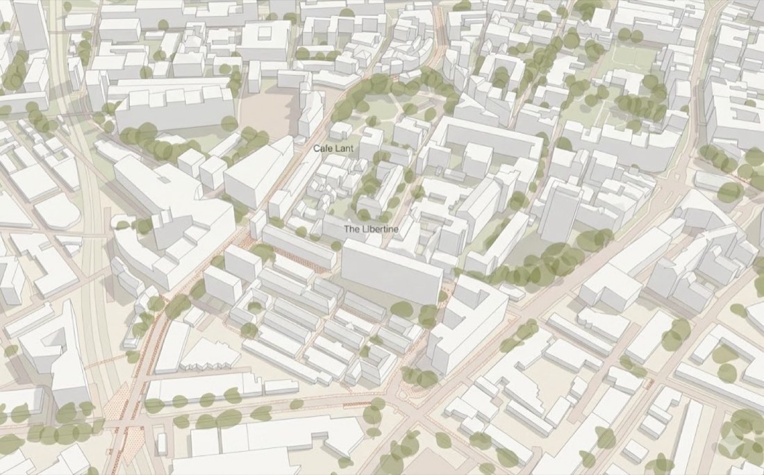
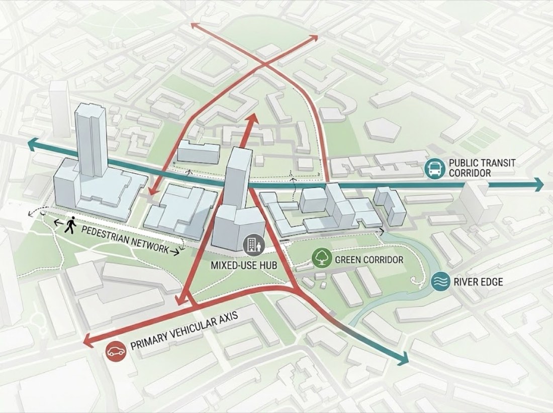
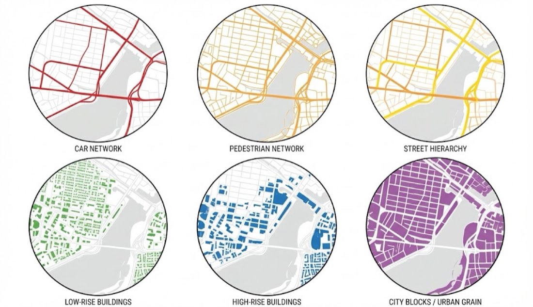
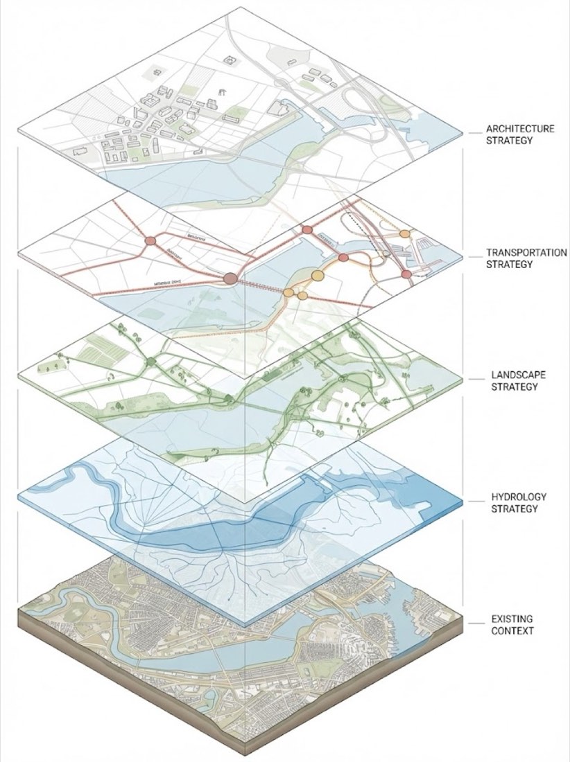
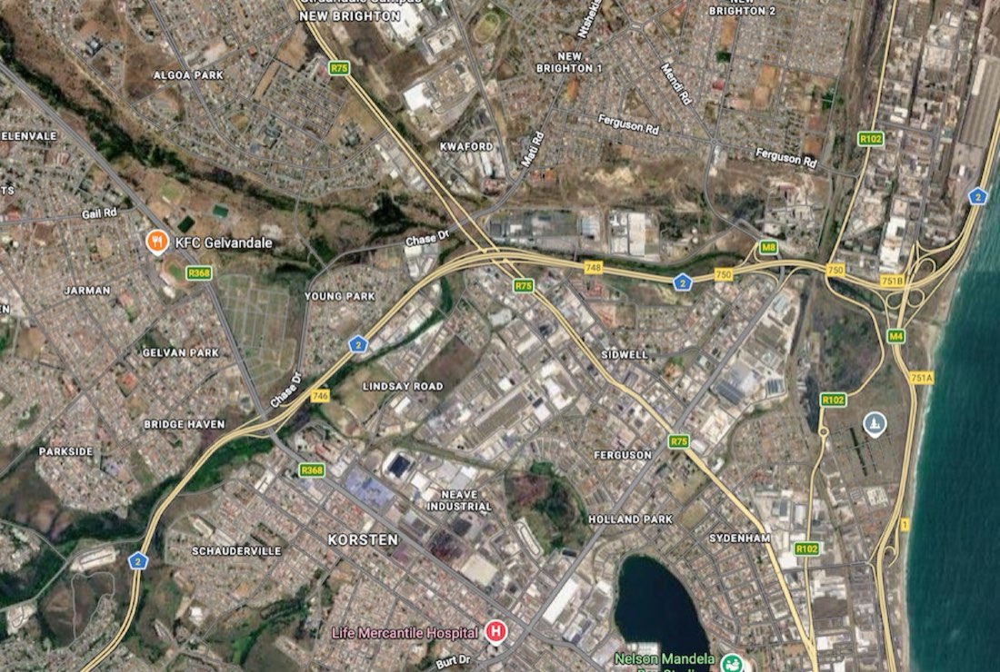
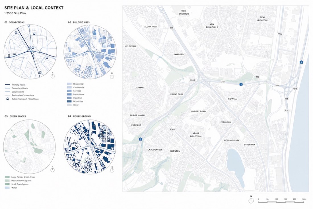
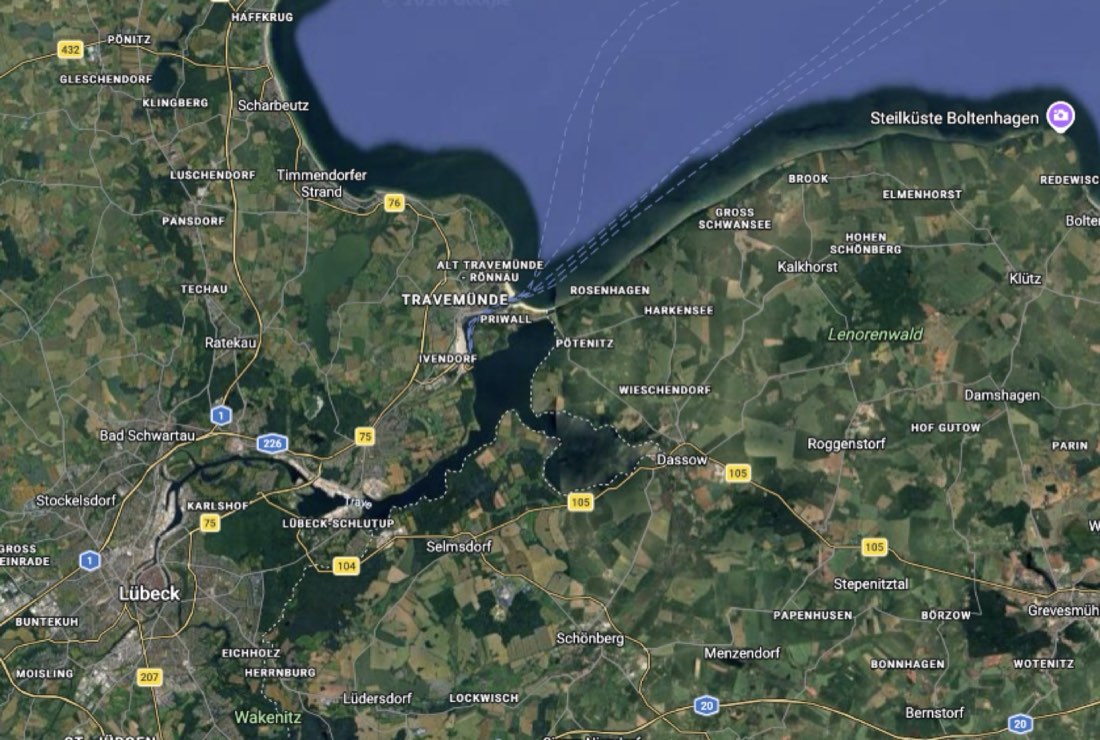
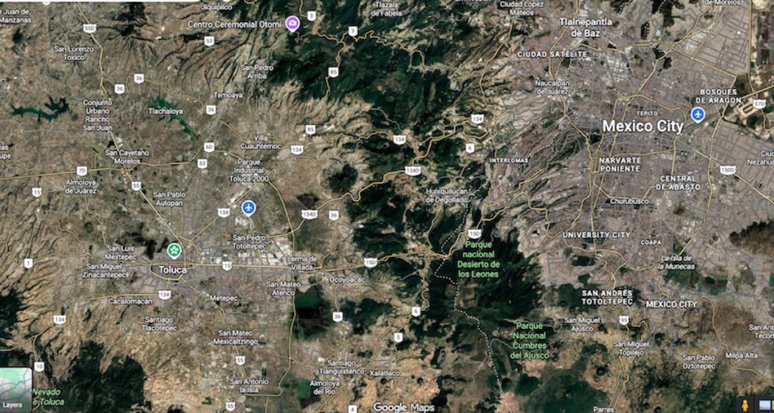
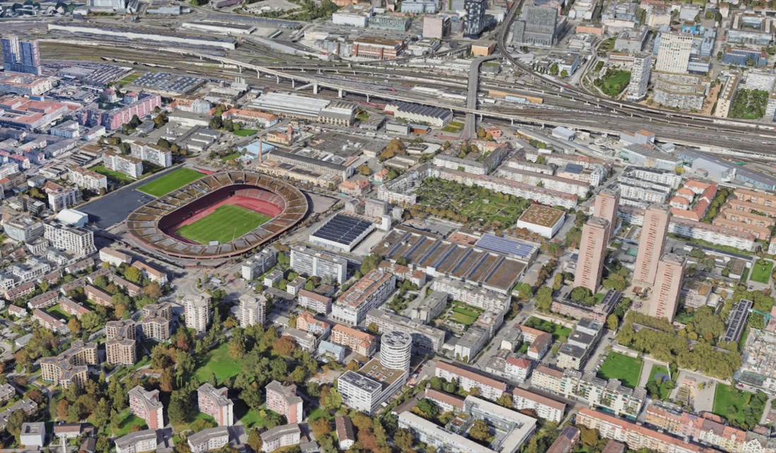
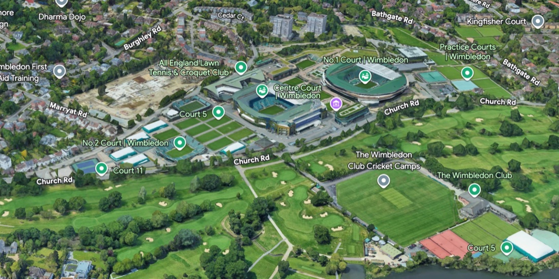
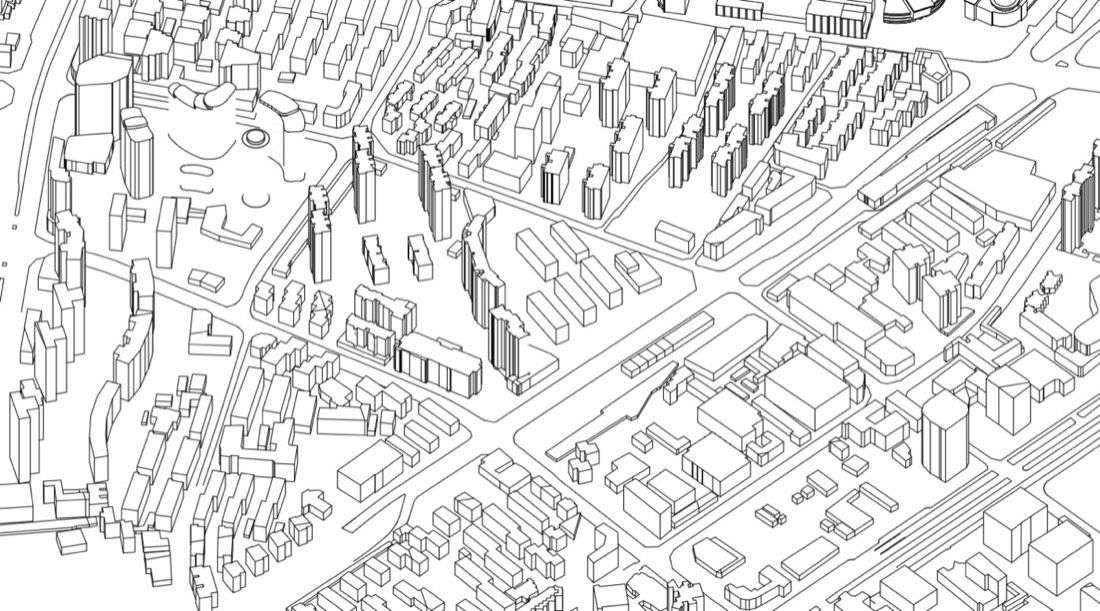
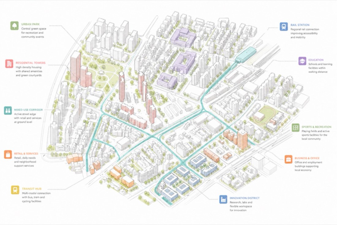
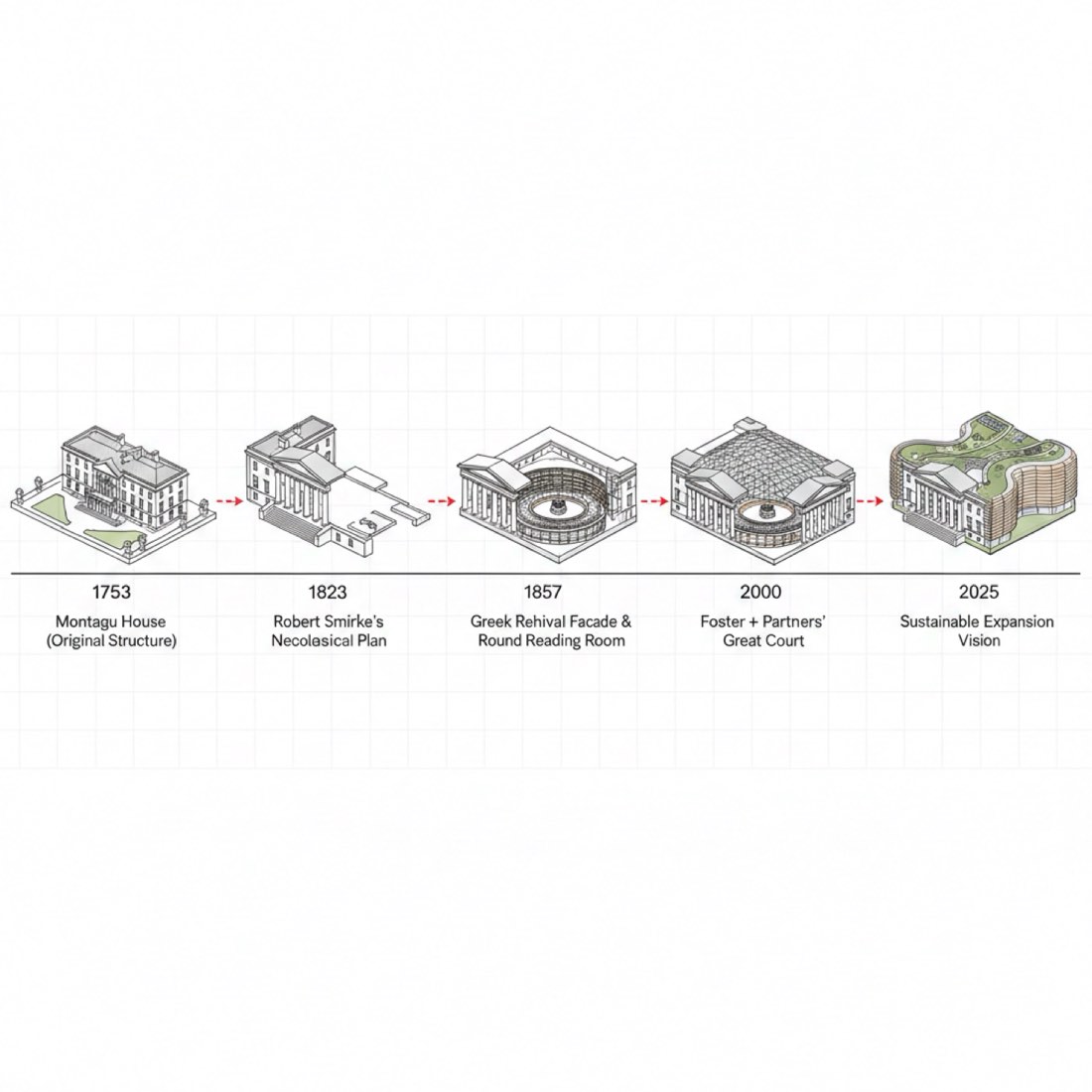
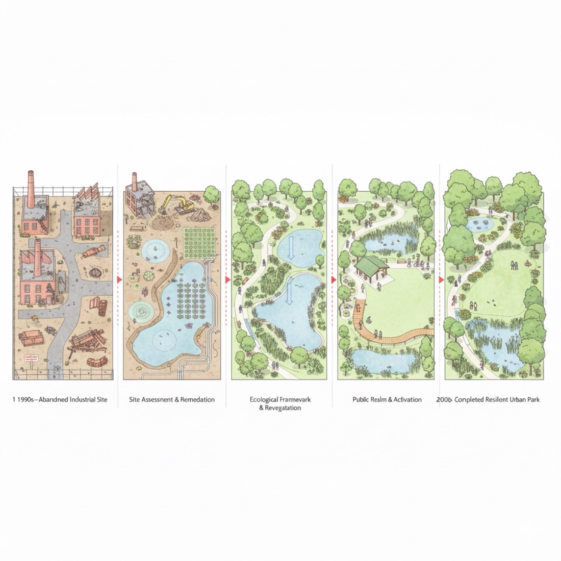
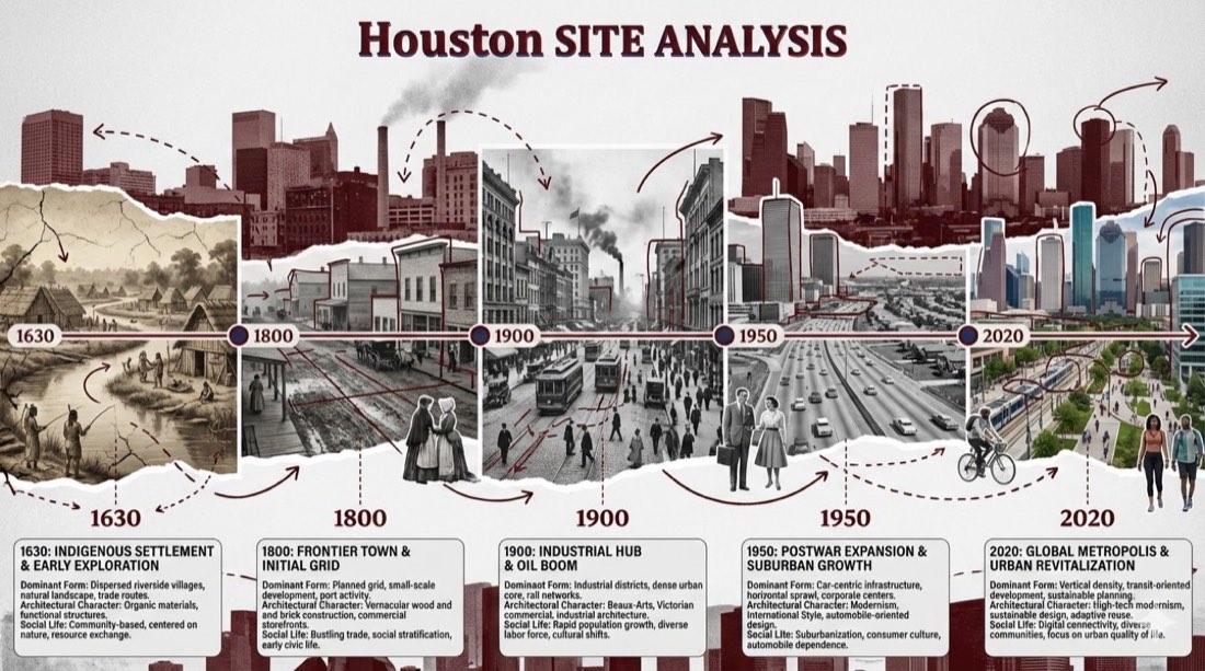
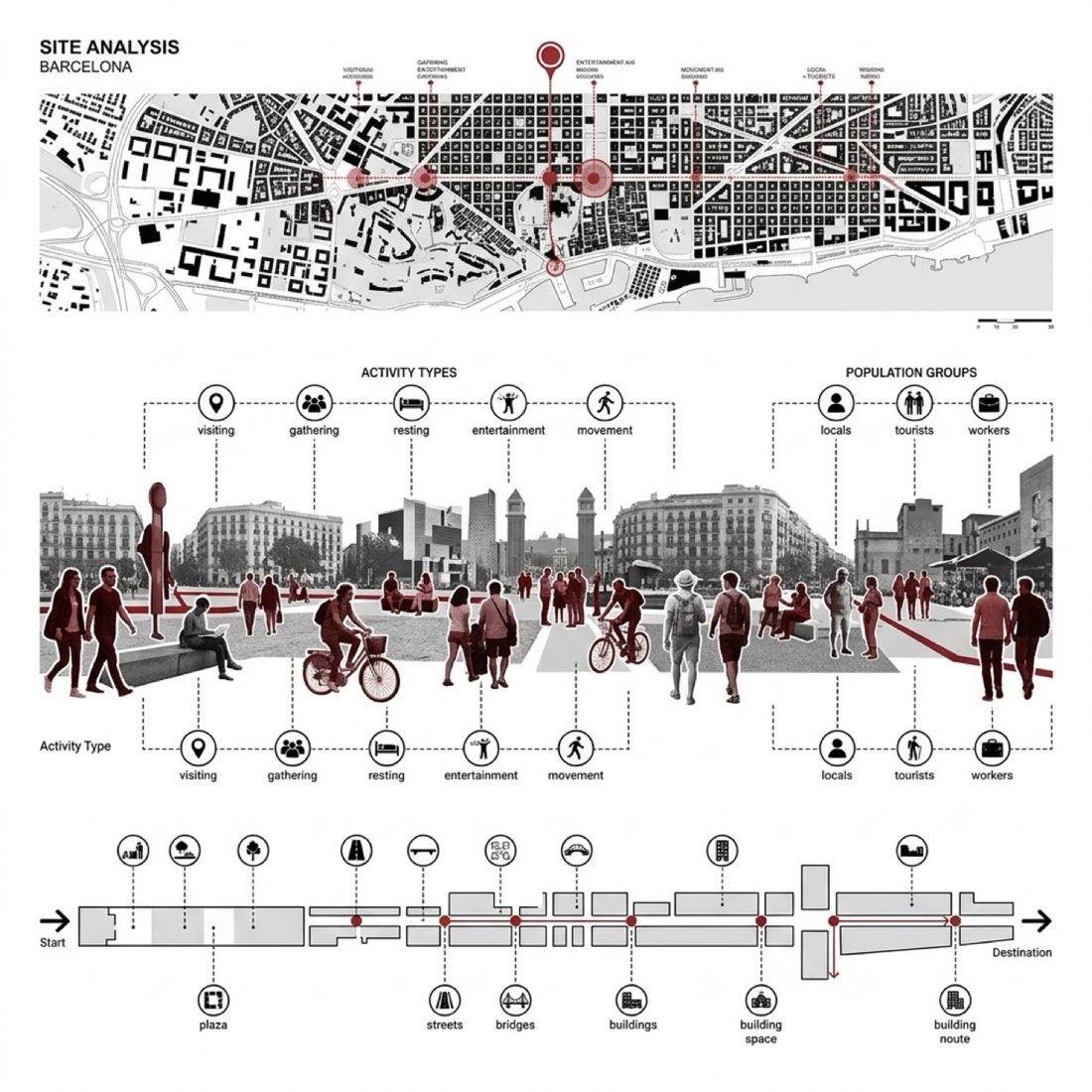
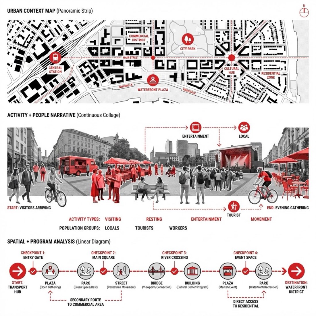
Diagrams & Mapping maps, site analysis and diagrams.
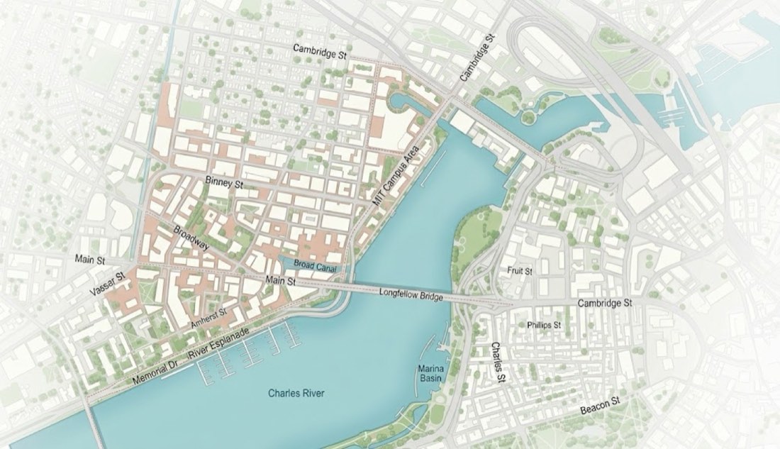
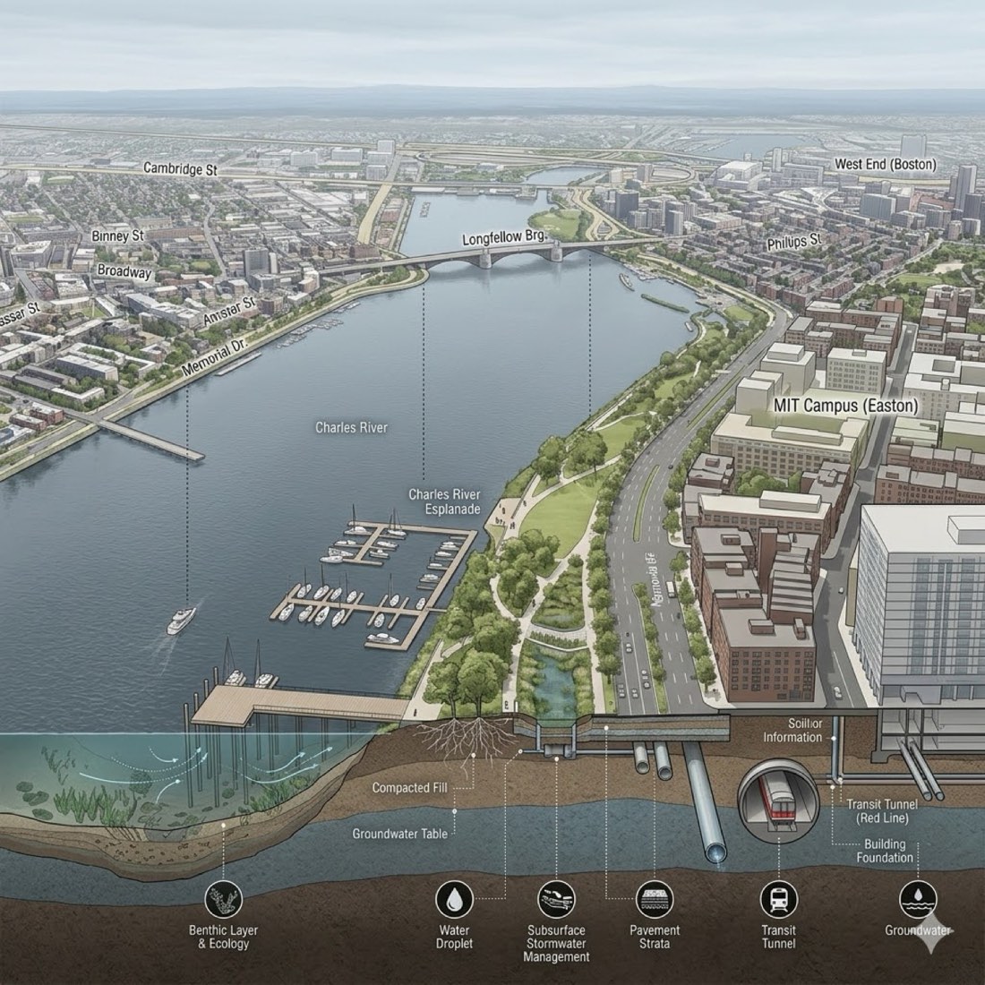
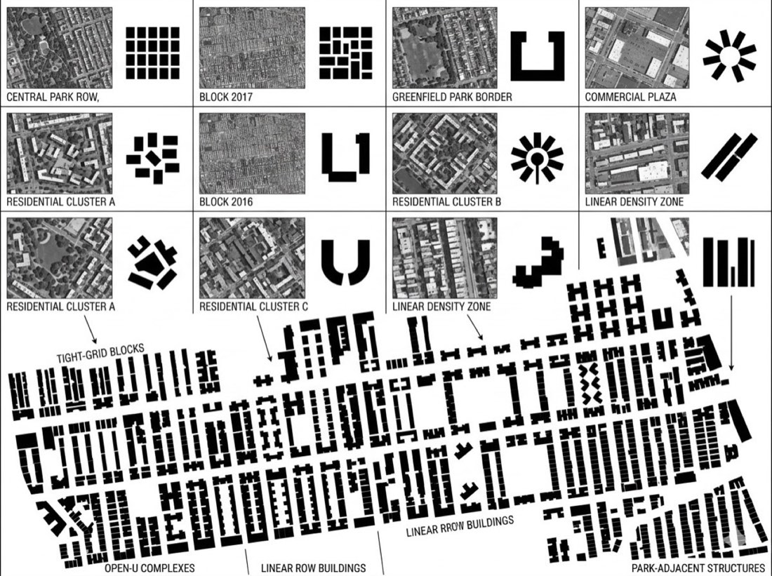
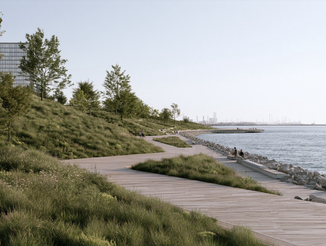
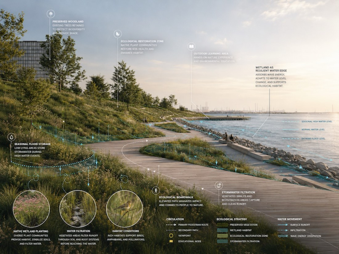
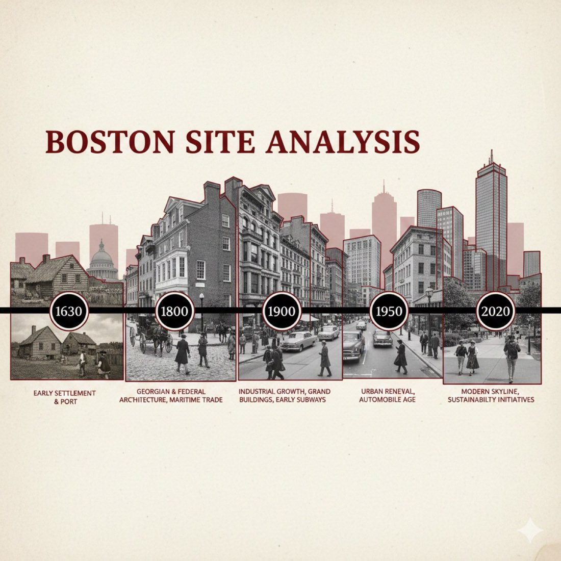
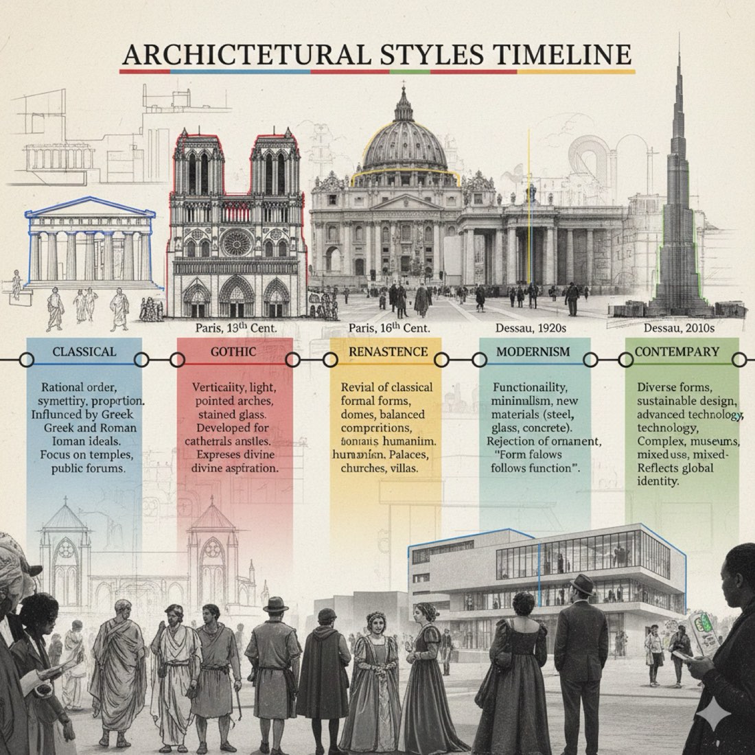
Mapping, site-analysis timelines, urban diagrams and analytical overlays from one prompt. Nano Banana Mapping, ChatGPT Mapping, Model to Urban Diagram, Rendering to Analytical Diagram Overlays, Timeline Site Analysis.
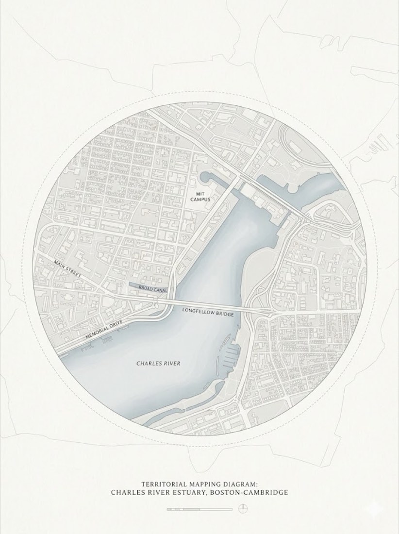
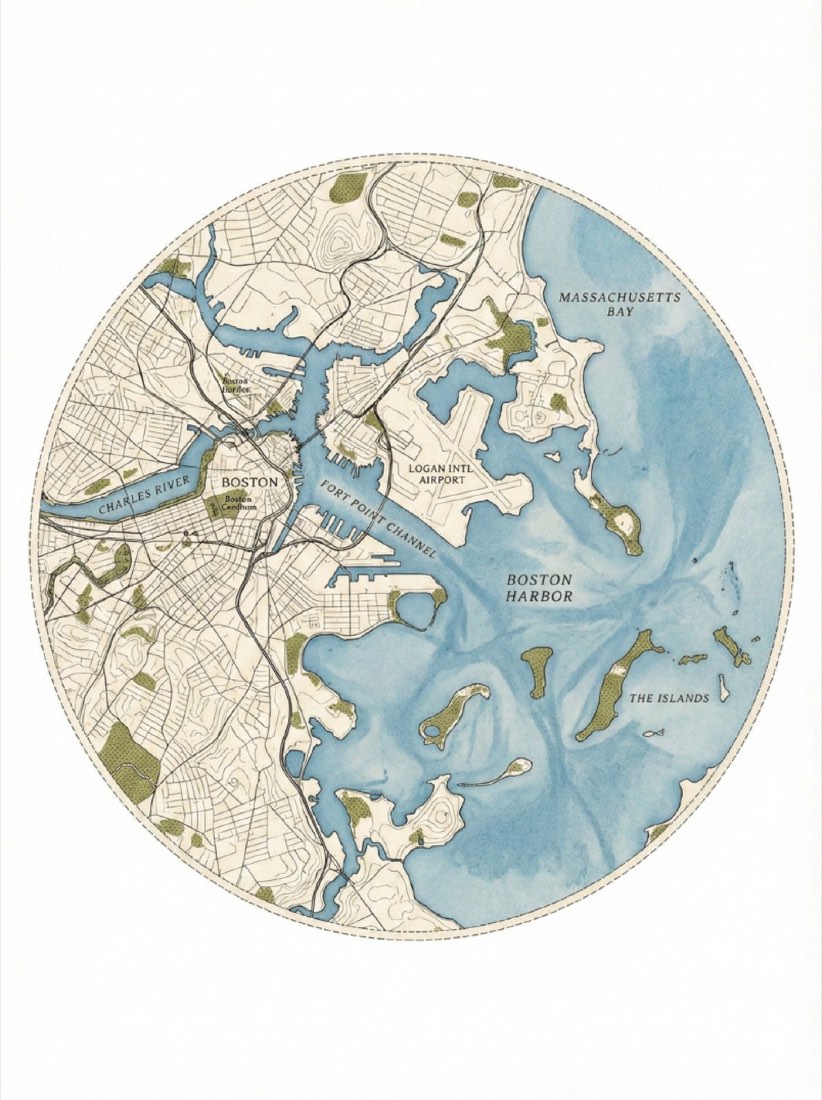
A circular architectural site plan of the Boston coastline and harbor, aerial view. The map is contained within a perfect circle with a faint dashed border line. Style of a minimalist topographic map on textured beige archival paper. Deep slate-teal color for the water with a grainy watercolor wash texture. Cream-colored land with delicate, fine-line ink contour lines representing elevation. Small, textured patches of olive-green stippling to represent parks and greenery. Clean, vintage cartographic aesthetic, high detail, minimal labels, white background surrounding the circle. Ratio 3:4
*Note: Change the location, colors as neede.
 AI for Architecture
 Nano Banana