AI for Architecture
Short answer
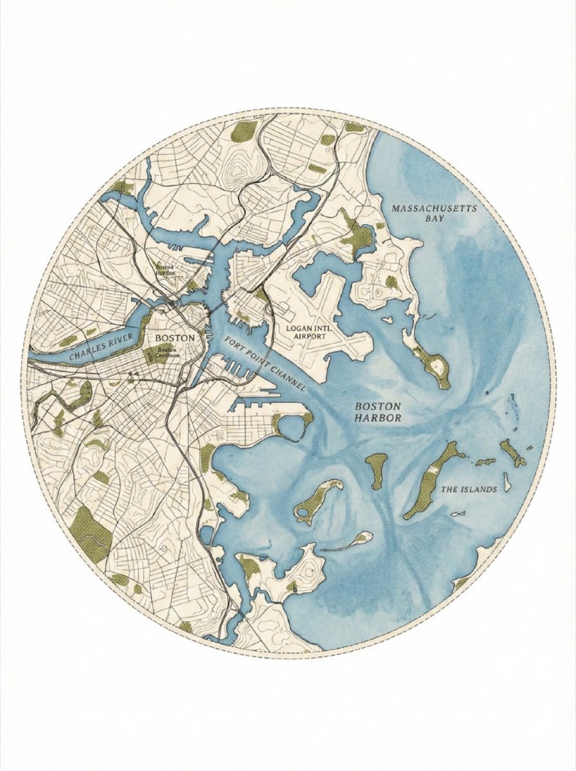
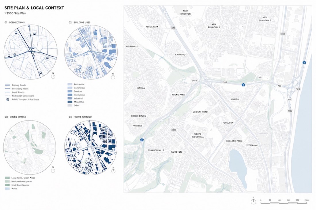
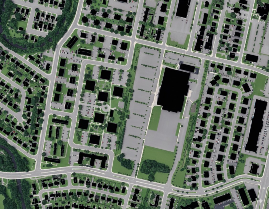
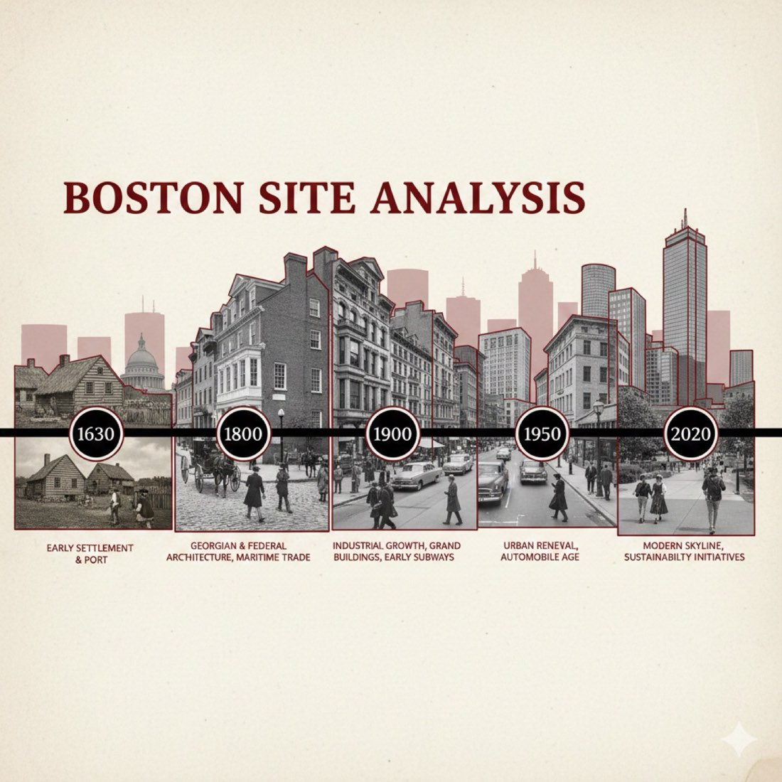
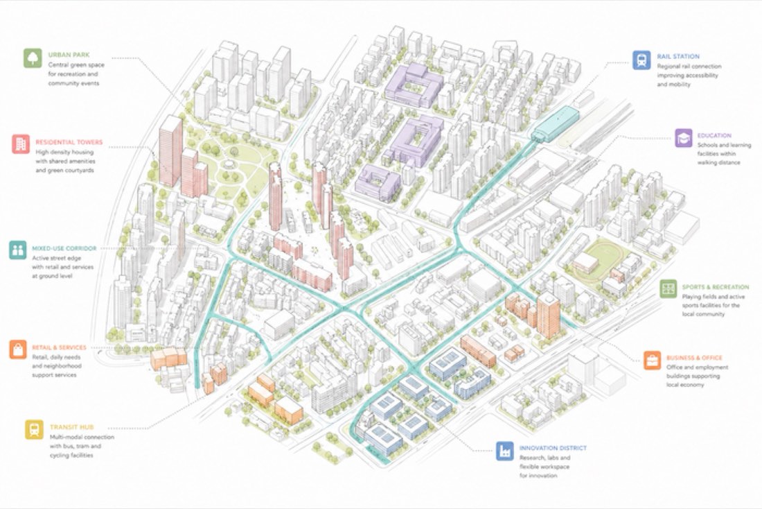
Write one prompt for Nano Banana Pro (Google Gemini) or ChatGPT that names the place, the map type (for example a circular site plan, figure-ground or district map), the graphic style (paper texture, colour palette, line weights) and the labels you want. Describing the style as precisely as a graphic designer would is what makes the map look intentional. To map a real site in detail, start from a screenshot of the area instead.
What you need
- The place and what the map should show.
- Nano Banana Pro (Gemini) or ChatGPT.
- The prompt below as a template.
Step by step
- Decide the map type and what it must show: water, topography, streets, landmarks, a study area.
- Copy the prompt below and change the place name, colours and labels.
- Send it to Nano Banana Pro (Gemini) or ChatGPT.
- Check names and geography: AI maps can invent streets or misplace landmarks.
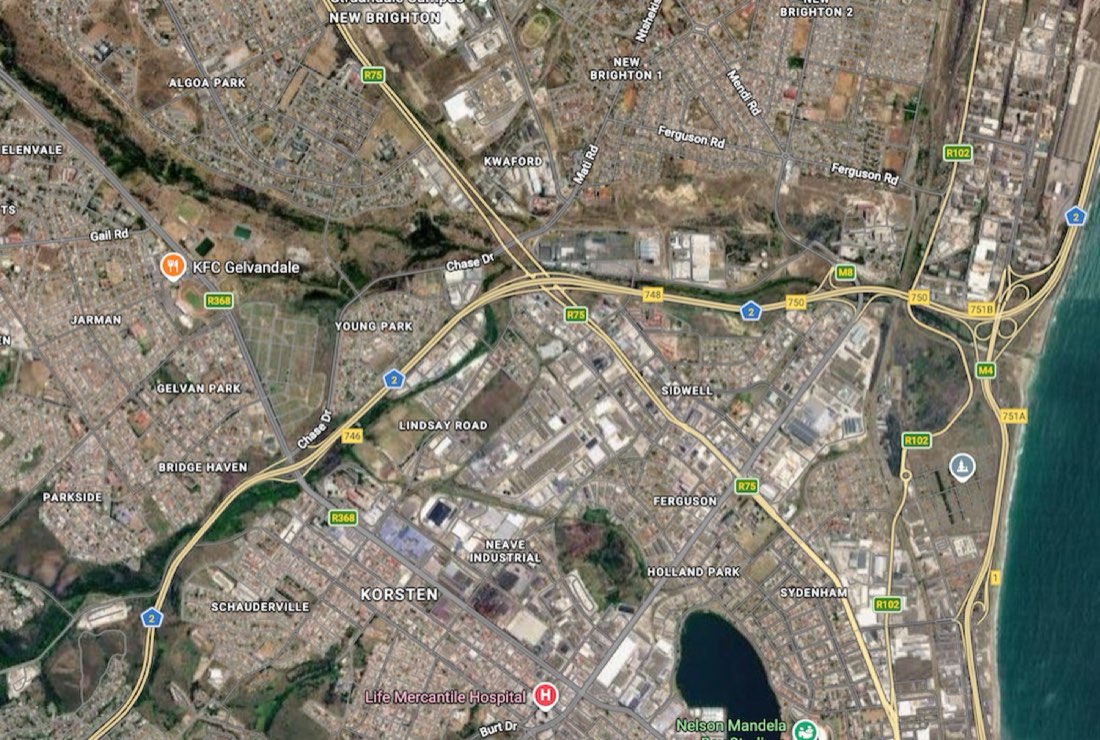
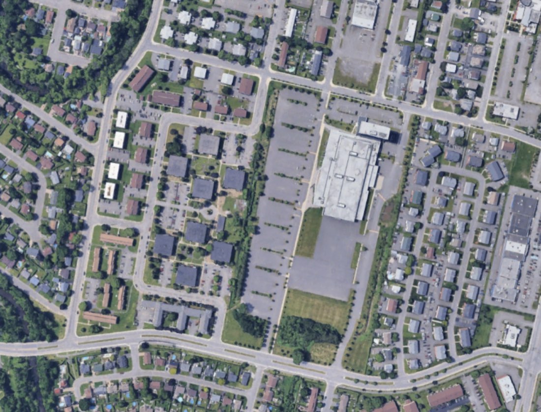
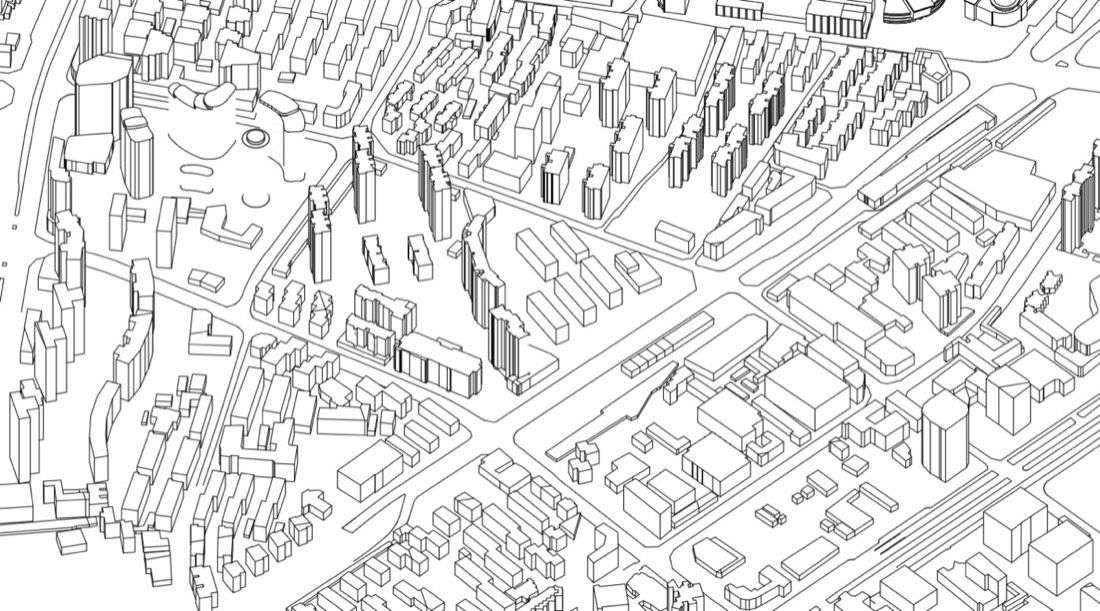
- For an exact base, upload a screenshot of the real area and follow the Trace Google Aerial Photo lesson.
Tips
- Give colours as named tones ("deep slate-teal water, cream land") so the palette stays consistent.
- Keep labels few and short; long text is where AI maps make mistakes.
- Make a set: reuse the same style sentence for every map in a project.
By Zixu Qiao, LandSpace Architecture. Updated 2026-11-17.
More examples: Nano Banana Mapping has 17 worked examples with 17 prompts.