街道景观
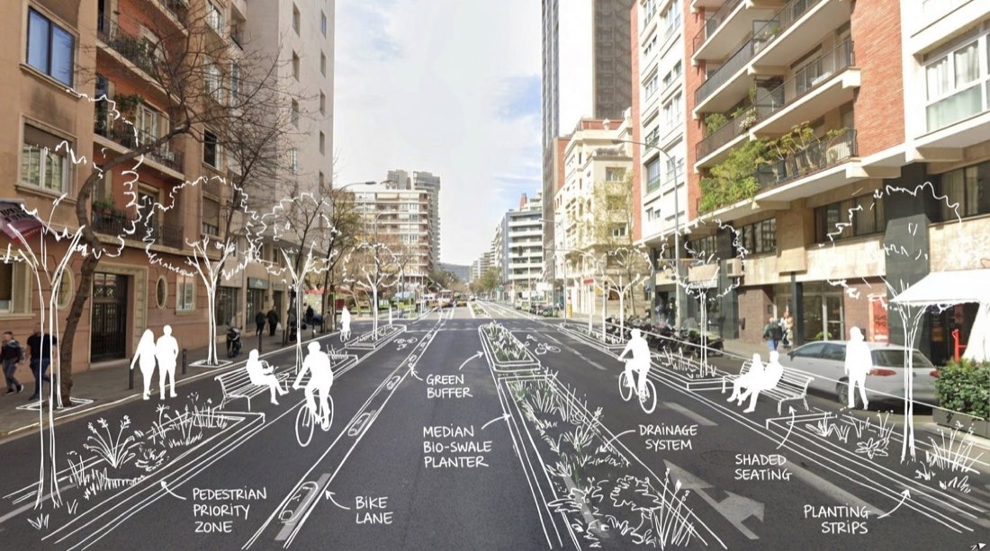
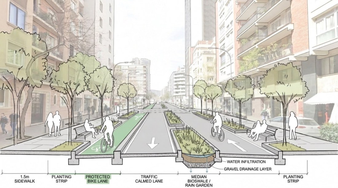
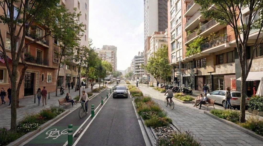
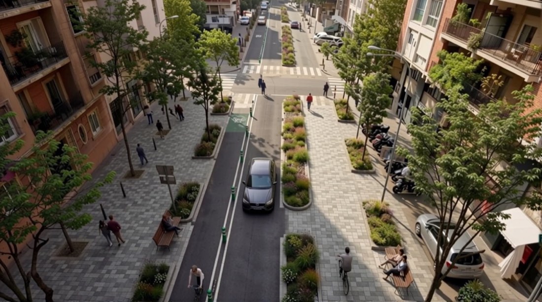
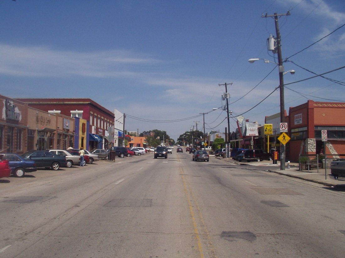
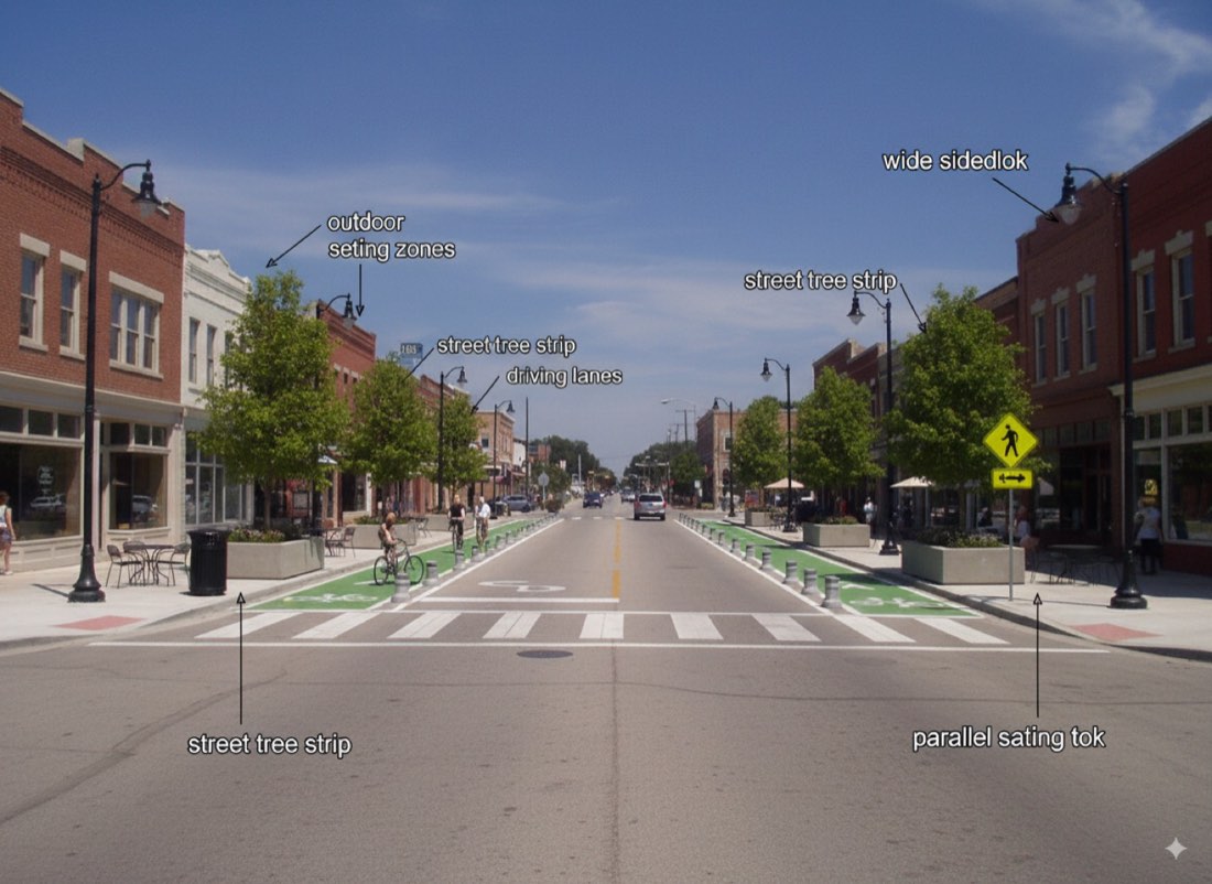
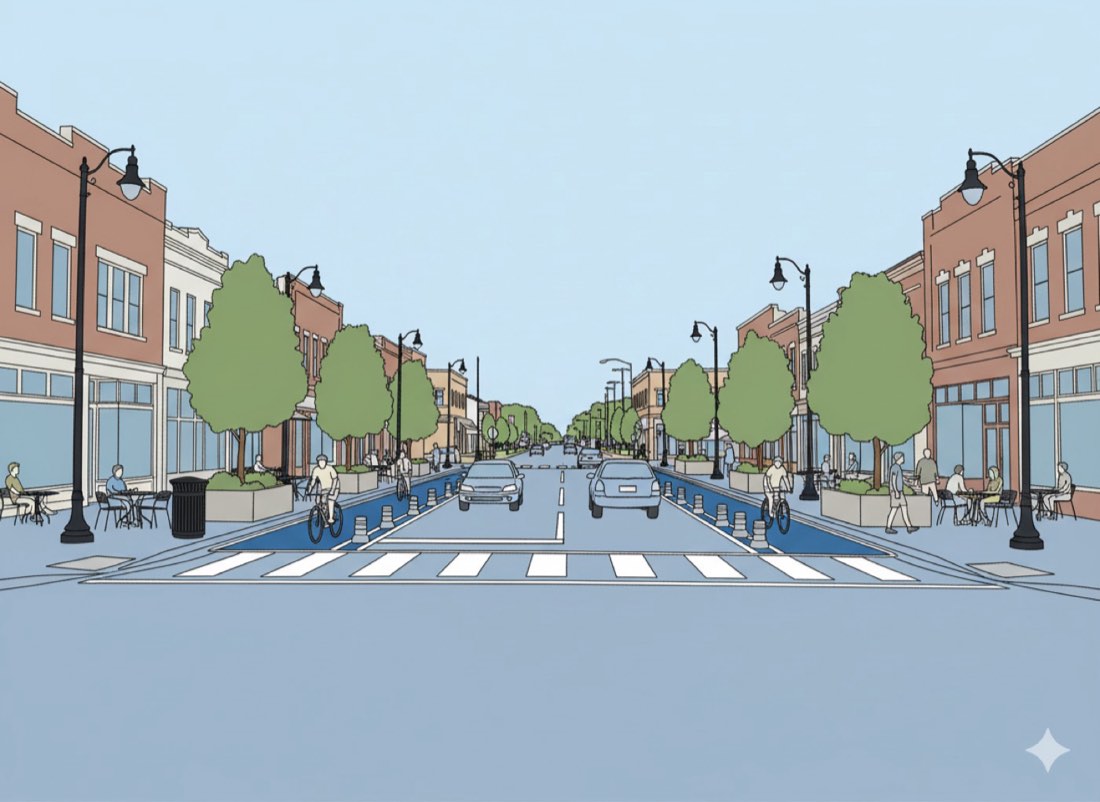
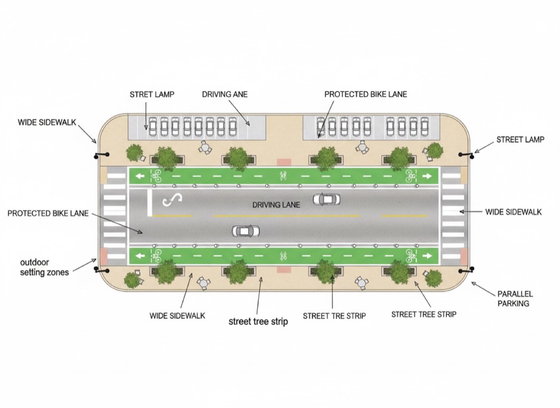
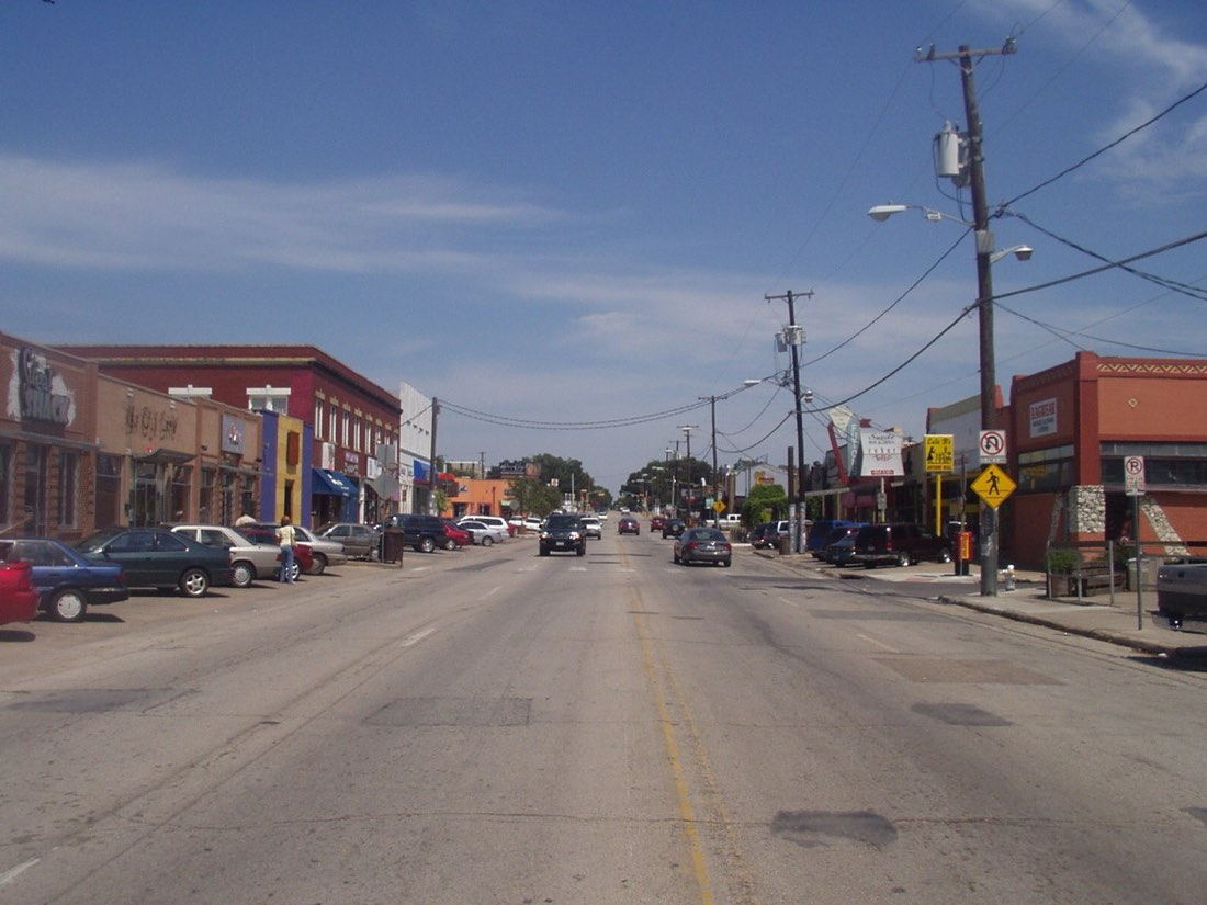
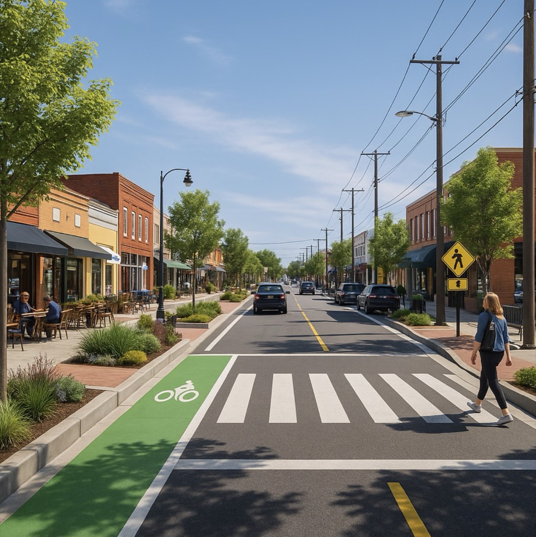
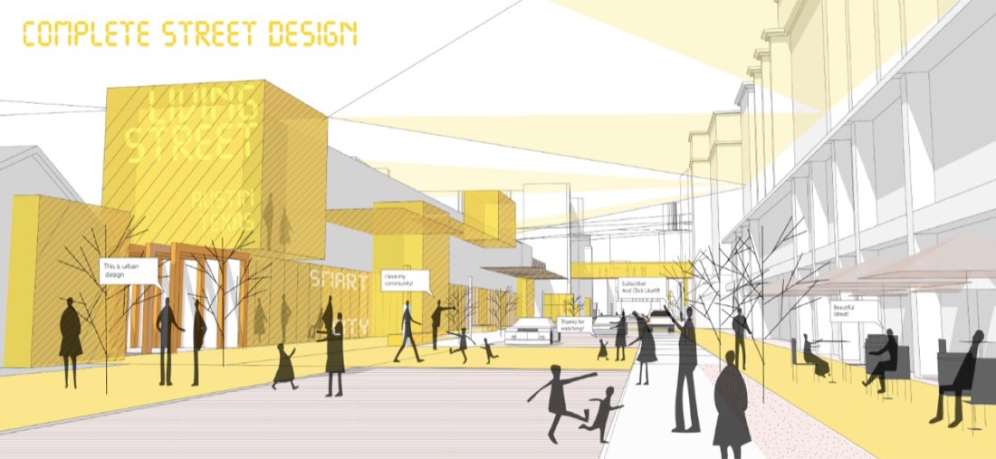
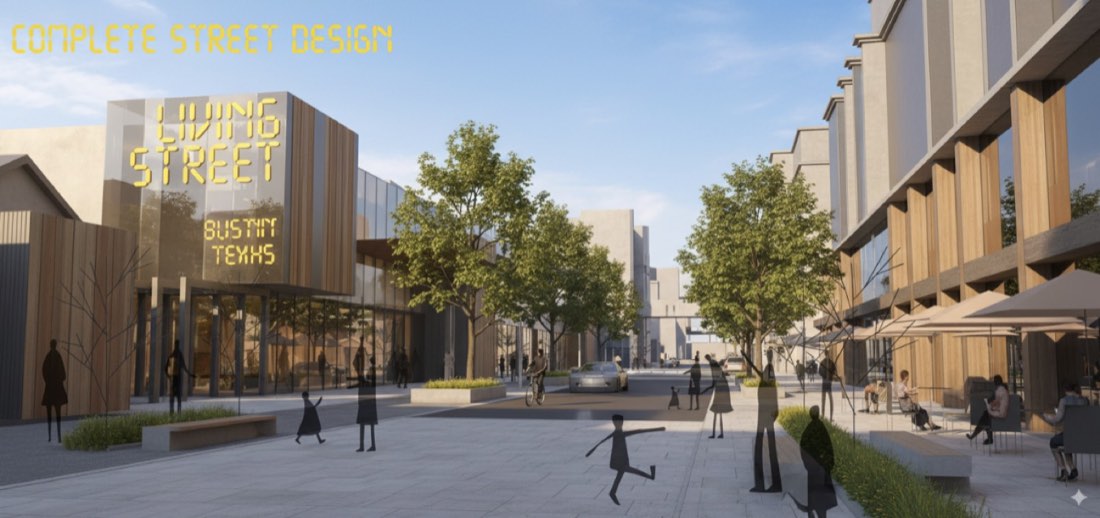
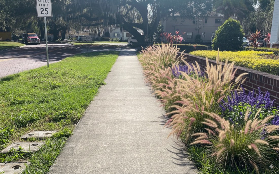
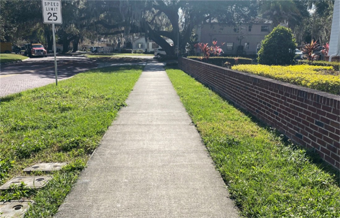
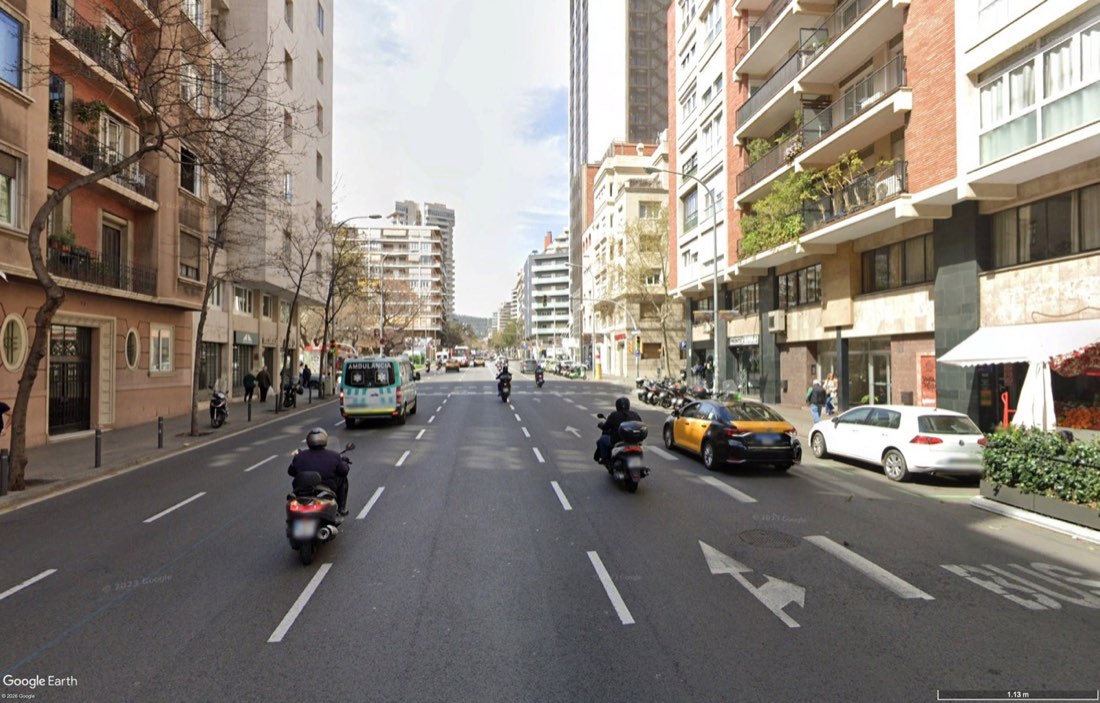
把我的街景照片转换为一张叠加手绘白色草图线条的街道景观设计分析图。保留原照片作为底图,保持透视、光线和现有环境。在上面叠加随性的手绘白色线条(略有粗细变化的细墨线),表现街道景观的改造,包括:宽阔的人行道、共享街道区、道路中央的生态草沟分隔带、自行车道、种植边带、生态草沟、雨水花园、行道树、休息凹位、路缘外扩和交通稳静化车道。使用自然、略带不完美的草图线条(不是僵硬的 CAD 线),清楚地顺应街道透视。加入简单的白色人物剪影(步行、骑车、坐着),表现活动和尺度。以手写或建筑分析图风格加入清晰的标注文字和箭头,标出各要素,例如:行人优先区、自行车道、绿色缓冲带、排水系统、遮阴座椅和种植带。低调地突出重点改造(自行车道、绿色基础设施),同时让整体图示轻盈易读。风格:照片 + 建筑草图叠加,城市设计概念可视化,极简,有叙事性,适合 Instagram,竞赛分析图美感。几秒钟后,你就会得到一张清晰、便于汇报的街道景观设计草图。输出:
Transform my street-view image into a streetscape design diagram with hand-drawn white sketch overlays.Keep the original photo as the base layer, preserving perspective, lighting, and existing context. Overlay loose, hand-drawn white linework (thin ink lines with slight variation) to illustrate streetscape improvements, including: wide pedestrian paths, shared street zones, median bio-swale planter in the center of road, bike lanes, planting edges, bio-swales, rain gardens, street trees, seating niches, curb extensions, and traffic-calmed lanes. Use organic, slightly imperfect sketch lines (not rigid CAD), clearly following the perspective of the street.Add simple white human silhouettes (walking, cycling, sitting) to show activity and scale. Include clean annotation labels and arrows in a handwritten or architectural diagram style to identify elements such as:pedestrian priority zone, bike lane, green buffer, drainage system, shaded seating, and planting strips. Highlight key interventions subtly (bike lane, green infrastructure) while keeping the overall graphic light and readable. Style: photo + architectural sketch overlay, urban design concept visualization, minimal, narrative-driven, Instagram-ready, competition diagram aesthetic. Within seconds, you’ll get a sketch that shows your proposed streetscape design in a clear and presentation-friendly way. Output: