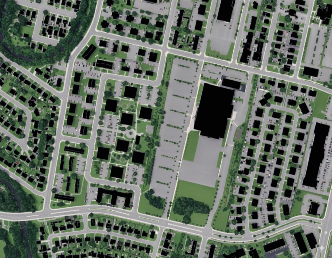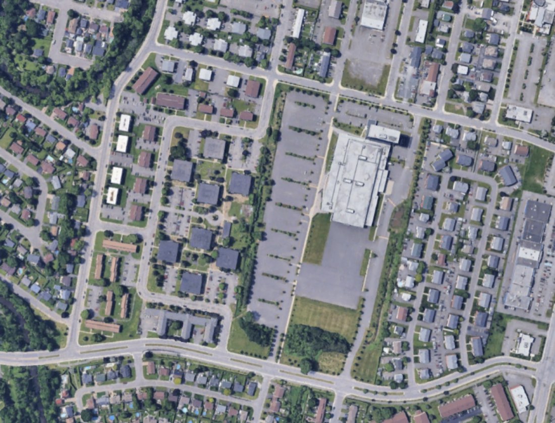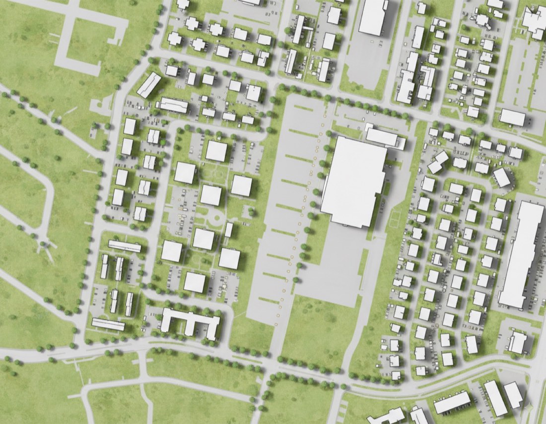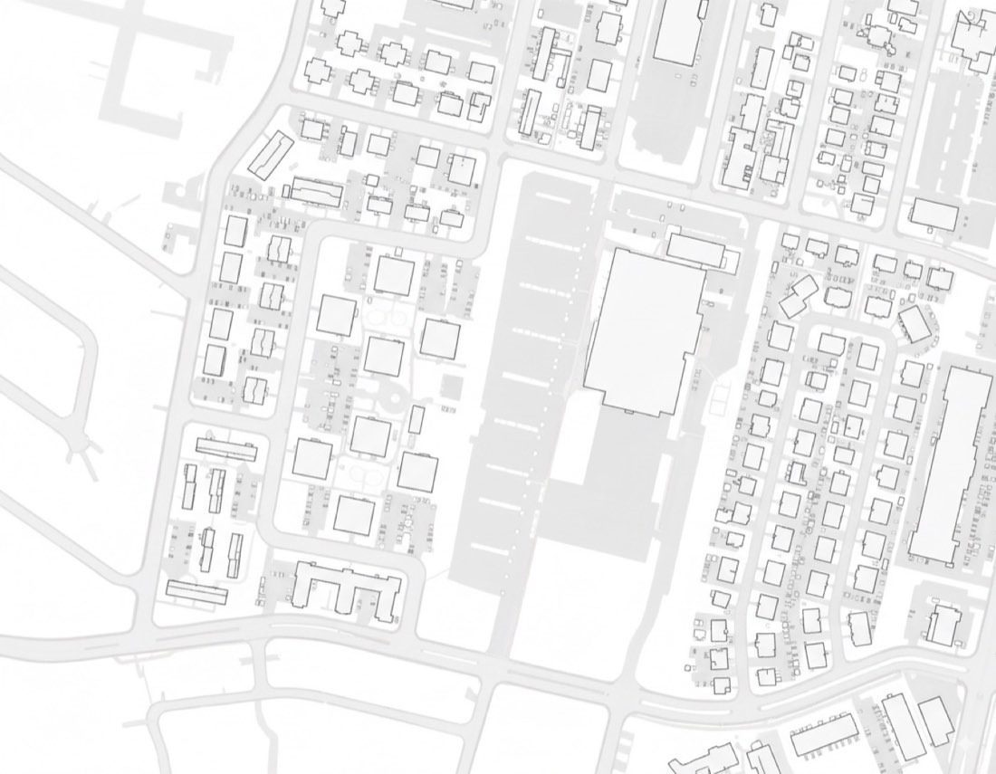
 BeforeAfter
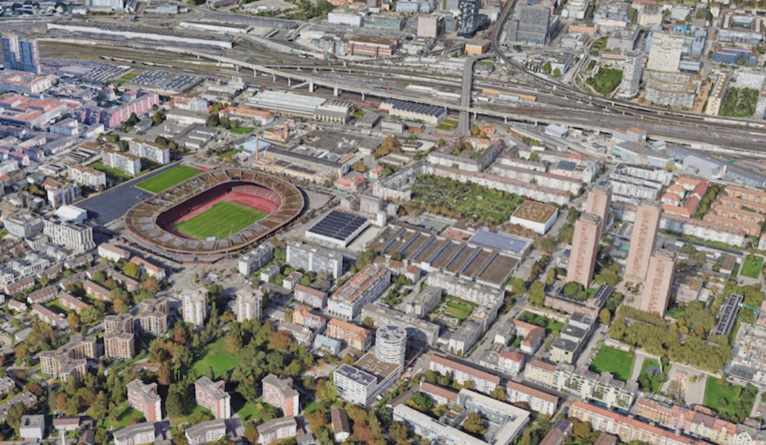
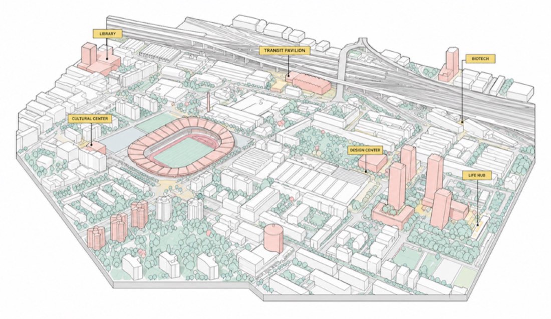
Aerial Photo to 3D Diagram
Transform my uploaded site plan into a refined architectural axonometric illustration while preserving the original site layout, building footprints, landscape, circulation, and spatial relationships exactly. STYLE: Create a premium architectural publication-style diagram using a floating axonometric site model. The visual language should resemble a professionally illustrated Adobe Illustrator architectural drawing with crisp vector linework, flat colors, precise geometry, and a clean editorial aesthetic. COMPOSITION: Represent the project as a single floating site block viewed from a 45° axonometric perspective. Isolate the model on a pure white background with generous negative space. Maintain the exact site geometry, scale, and proportions. KEEP ALL ANNOTATIONS OUTSIDE THE MODEL.: ⸻: BUILDINGS: Render every building as simplified architectural masses with flat vector surfaces. Use white and very light neutral gray for the majority of buildings. Highlight major buildings, landmark structures, and primary interventions using a warm blush palette: • Soft Blush Pink #F3C1BF Warm Coral #E89F95 Distribute the warm colors selectively to establish a clear architectural hierarchy without overwhelming the composition. Draw every building with bold, crisp black vector outlines of consistent stroke weight, similar to professional Adobe Illustrator architectural drawings. Building edges must be perfectly straight, sharp, and geometric. Remove all façade details, windows, roof textures, and realistic materials while preserving the exact building footprints and heights. LABELS: Professional planning callouts. Lable with icons, building in pink with thicker black outline STYLE: yellow rectangular labels black uppercase text leader pointers consistent typography evenly distributed EXAMPLES: LIBRARY CULTURAL CENTER BIOTECH DESIGN CENTER TRANSIT PAVILION LIFE HUB⸻ STREETS & HARDSCAPE: Render roads, plazas, pavements, and pathways using clean flat vector graphics. Clearly define every street edge with crisp black outlines. Use subtle tonal differences between primary and secondary streets while maintaining a restrained monochromatic appearance. Avoid gradients, watercolor textures, or soft painterly effects. ⸻: LANDSCAPE: Render parks and open spaces with flat vector fills using muted natural colors: • Soft Sage #CBDDD6 Light Gray-Green #D9E1DF Mist Blue #BAD8DE Use Warm Sand #FBD28C sparingly for plazas, civic spaces, or important public gathering areas. Keep all landscape surfaces clean, geometric, and highly legible. ⸻: VEGETATION: Represent trees as small architectural symbols with flat circular canopies. USE PRIMARILY: • Soft Sage #CBDDD6 Mist Blue #BAD8DE Introduce occasional Blush Pink #F3C1BF trees to subtly reinforce important public spaces and visual focal points. Maintain consistent size, spacing, and graphic style throughout. ⸻: GRAPHICS: Overlay the drawing with restrained architectural infographic elements including: thin black leader lines numbered callouts location pins simple circular icons minimal sans-serif typography subtle architectural overlays Use Blush Pink #F3C1BF and Warm Coral #E89F95 only as accent colors for highlighted routes, key buildings, important nodes, or primary interventions. Maintain generous spacing and avoid visual clutter. ⸻: LINEWORK: PRIORITIZE CRISP ARCHITECTURAL DRAFTING.: Use consistent black vector strokes throughout the illustration. Building outlines should be noticeably heavier than all secondary graphics. Road edges, landscape boundaries, and annotations should use thinner strokes to establish a clear hierarchy. Every line should appear perfectly straight and precise, as if drawn in Adobe Illustrator. ⸻: COLOR PALETTE: USE ONLY THE FOLLOWING COLORS: * White — #FFFFFF * Light Neutral Gray * Warm Sand — #FBD28C * Soft Sage — #CBDDD6 * Light Gray-Green — #D9E1DF * Mist Blue — #BAD8DE * Blush Pink — #F3C1BF * Warm Coral — #E89F95 * Black — #000000 (linework only) Keep all colors soft, flat, and low in saturation with a bright editorial appearance. ⸻: LIGHTING: Use soft ambient daylight with almost no visible shadows. Apply only subtle ambient occlusion to separate architectural volumes while maintaining a flat diagrammatic quality.
把我上传的总平面图转换为一张精致的建筑轴测插画,同时完全保留原有的场地布局、建筑轮廓、景观、流线和空间关系。 风格: 用悬浮的轴测场地模型,制作一张高品质的建筑出版物风格分析图。视觉语言应像在 Adobe Illustrator 中专业绘制的建筑图纸:矢量线条清晰、平涂色彩、几何精确、杂志式美感干净。 构图: 把项目表现为一个悬浮的场地体块,从 45° 轴测视角观看。 模型单独放在纯白背景上,留白充足。 保持准确的场地几何、比例和尺度。 所有标注都放在模型外侧。 ⸻ 建筑: 每栋建筑都表现为简化的建筑体块,表面为扁平矢量。 大多数建筑使用白色和很浅的中性灰。 主要建筑、地标建筑和主要改造用温暖的腮红色系突出: • 柔和腮红粉 #F3C1BF、暖珊瑚色 #E89F95 有选择地分布暖色,建立清晰的建筑层级,又不压过整体构图。 每栋建筑都用粗细一致、醒目清晰的黑色矢量轮廓绘制,类似专业的 Adobe Illustrator 建筑图纸。 建筑边缘必须完全笔直、锐利、几何化。 去掉所有立面细节、窗户、屋顶纹理和写实材料,同时保留准确的建筑轮廓和高度。 标签: 专业的规划标注。带图标的标签,建筑用粉色并加粗黑色轮廓 风格: 黄色矩形标签 黑色全大写文字 引线指针 字体统一 分布均匀 示例: LIBRARY(图书馆) CULTURAL CENTER(文化中心) BIOTECH(生物科技) DESIGN CENTER(设计中心) TRANSIT PAVILION(交通亭) LIFE HUB(生活中心)⸻ 街道与硬质景观: 道路、广场、铺装和步道用干净的扁平矢量图形表现。 每条街道边缘都用清晰的黑色轮廓明确界定。 主次街道之间使用细微的色调差异,同时保持克制的单色效果。 避免渐变、水彩纹理或柔和的绘画效果。 ⸻ 景观: 公园和开放空间用柔和自然色的扁平矢量填充: • 柔和鼠尾草绿 #CBDDD6、浅灰绿 #D9E1DF、雾蓝 #BAD8DE 广场、市民空间或重要的公共聚集区少量使用暖沙色 #FBD28C。 所有景观表面保持干净、几何、高度易读。 ⸻ 植被: 树木表现为小的建筑式符号,配扁平的圆形树冠。 主要使用: • 柔和鼠尾草绿 #CBDDD6、雾蓝 #BAD8DE 偶尔加入腮红粉 #F3C1BF 的树,低调地强化重要的公共空间和视觉焦点。 全图保持一致的大小、间距和图示风格。 ⸻ 图示: 在图上叠加克制的建筑信息图元素,包括: 细黑引线 编号标注 位置图钉 简单的圆形图标 极简的无衬线字体 细微的建筑叠加层 腮红粉 #F3C1BF 和暖珊瑚色 #E89F95 只作为点缀色,用于突出路线、重点建筑、重要节点或主要改造。 保持充足的间距,避免视觉杂乱。 ⸻ 线条: 优先保证清晰的建筑制图感。 全图使用一致的黑色矢量线。 建筑轮廓应明显粗于所有次要图形。 道路边缘、景观边界和标注使用更细的线,建立清晰的层级。 每条线都应完全笔直精确,就像在 Adobe Illustrator 中绘制的。 ⸻ 配色: 只使用以下颜色: * 白色 —— #FFFFFF * 浅中性灰 * 暖沙色 —— #FBD28C * 柔和鼠尾草绿 —— #CBDDD6 * 浅灰绿 —— #D9E1DF * 雾蓝 —— #BAD8DE * 腮红粉 —— #F3C1BF * 暖珊瑚色 —— #E89F95 * 黑色 —— #000000(仅用于线条) 所有颜色保持柔和、平涂、低饱和,呈现明亮的杂志感。 ⸻ 光线: 使用柔和的环境日光,几乎没有可见的阴影。 只加细微的环境光遮蔽来区分建筑体量,同时保持扁平的分析图质感。