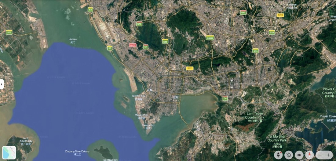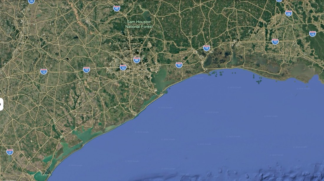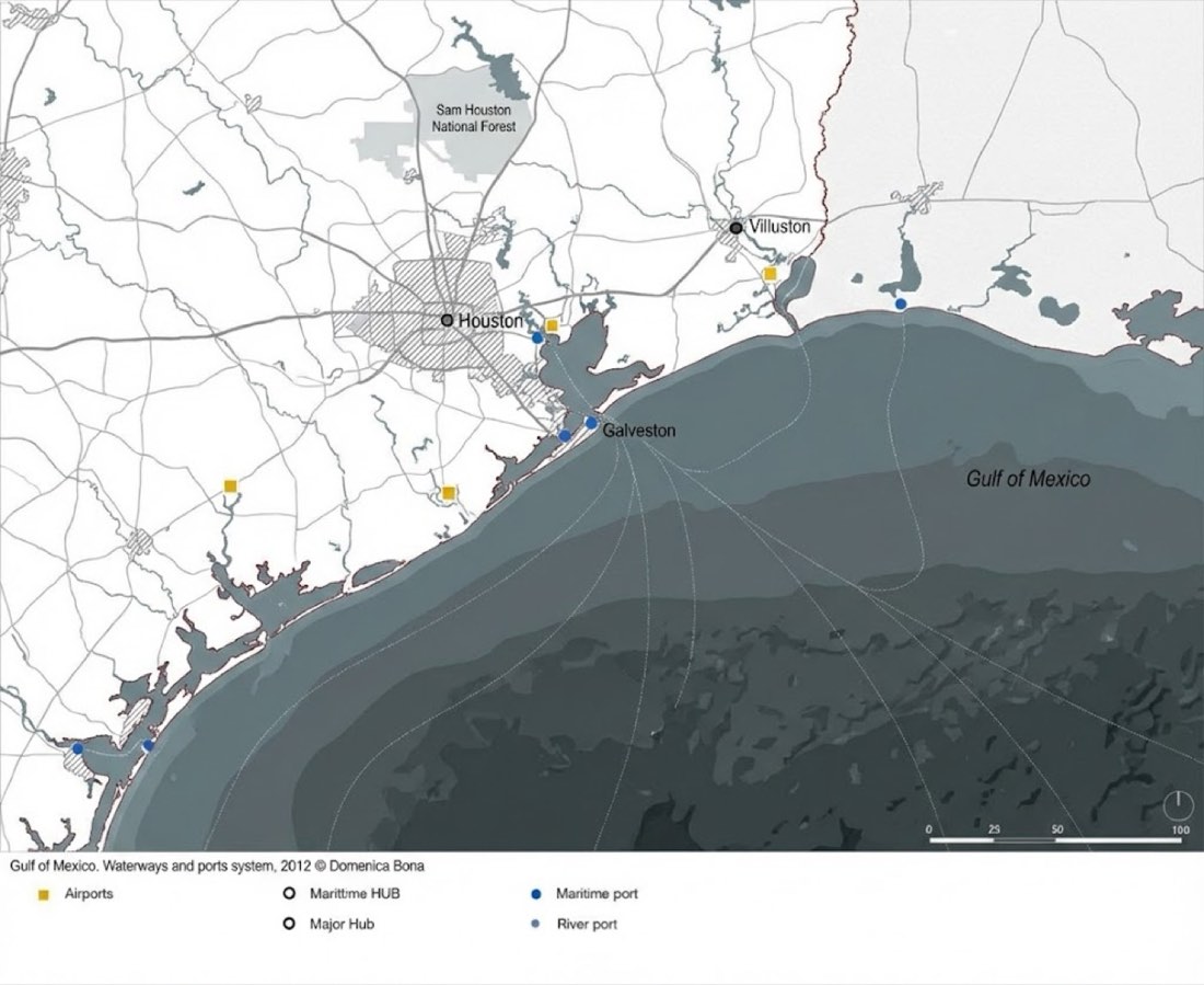
Mapping
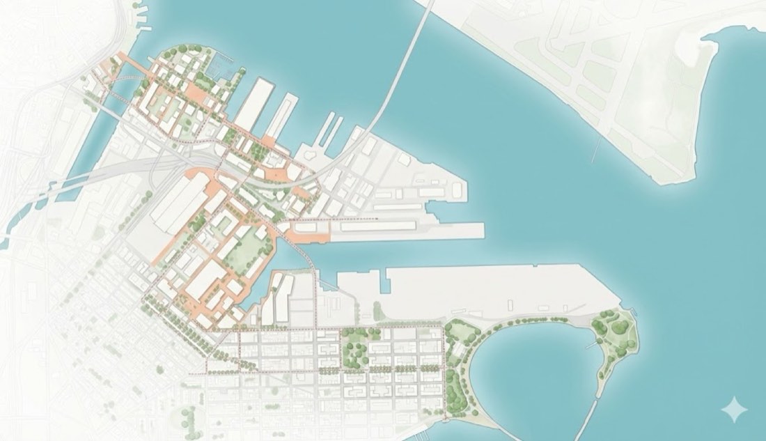
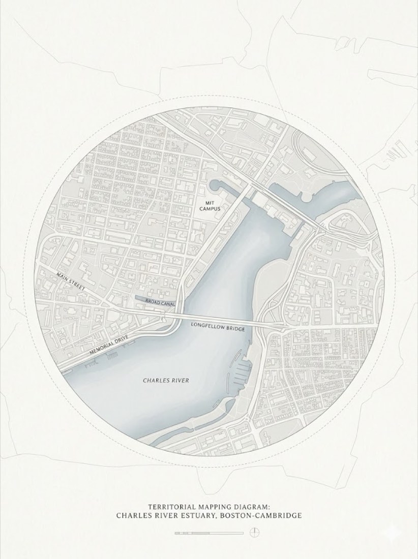
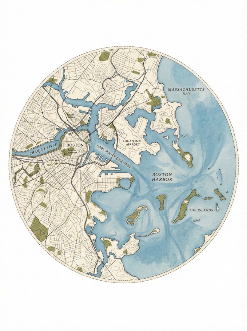
A circular architectural site plan of the Boston coastline and harbor, aerial view. The map is contained within a perfect circle with a faint dashed border line. Style of a minimalist topographic map on textured beige archival paper. Deep slate-teal color for the water with a grainy watercolor wash texture. Cream-colored land with delicate, fine-line ink contour lines representing elevation. Small, textured patches of olive-green stippling to represent parks and greenery. Clean, vintage cartographic aesthetic, high detail, minimal labels, white background surrounding the circle. Ratio 3:4 *Note: Change the location, colors as neede.
一张波士顿海岸线和港口的圆形建筑总平面图,鸟瞰视角。地图被框在一个完美的圆内,配一圈淡淡的虚线边框。采用极简地形图风格,画在带纹理的米色档案纸上。水体用深石板蓝绿色,带颗粒感的水彩晕染纹理。陆地为奶油色,用精致的细墨等高线表示高程。公园和绿地用带纹理的橄榄绿小点彩块表示。干净的复古制图美感,细节丰富,标注极少,圆形外为白色背景。比例 3:4 *备注:可按需更换地点和颜色。