 BeforeAfter
Plan to Birdseye
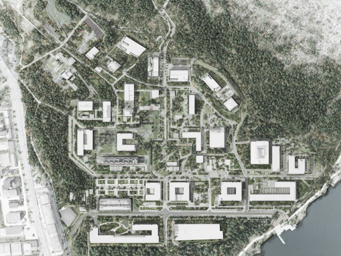
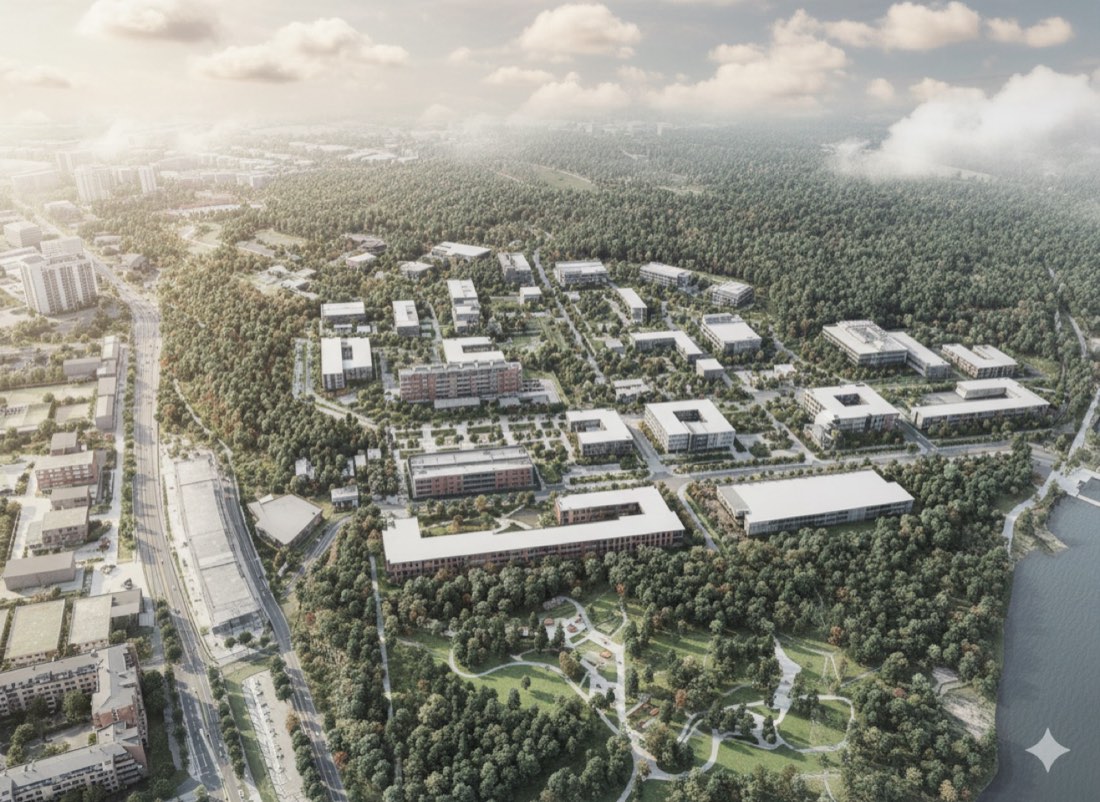
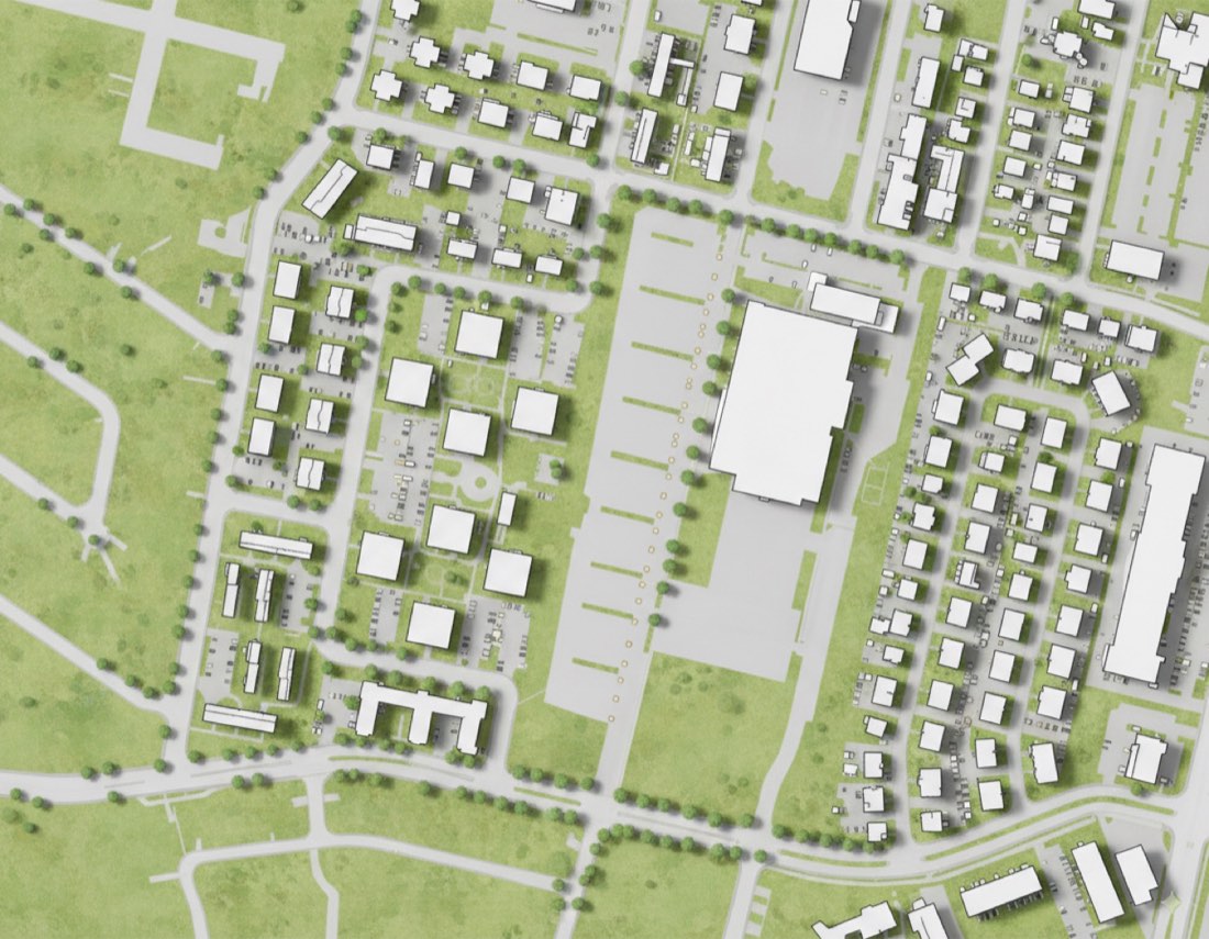
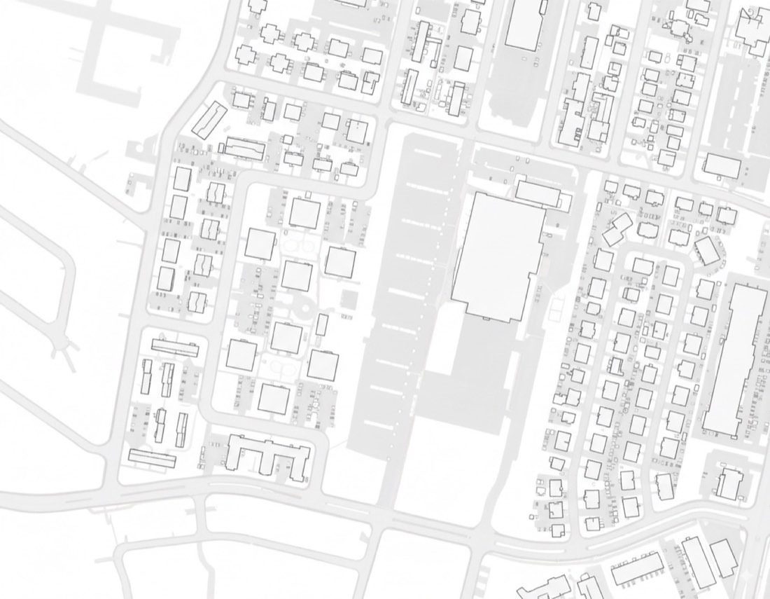
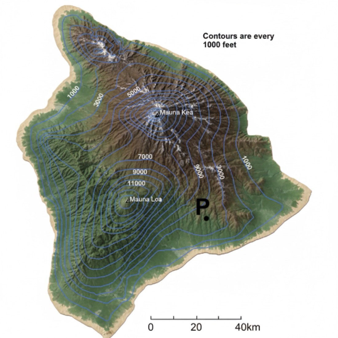
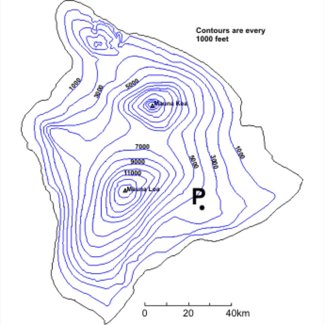
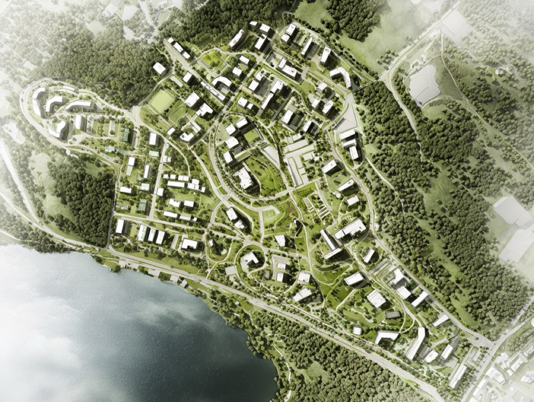
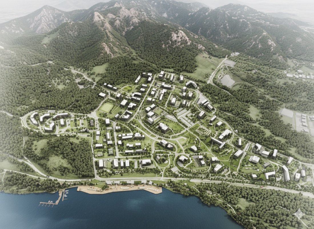
Convert this urban development masterplan, situated along the coastline and extending to the edge of a mountainous area, into a detailed bird’s-eye view rendering. The perspective should look inland — from the water toward the top of the mountain — gradually revealing the transition from coastal development to hillside structures. Accurately model the natural topography, showing the sloping landform rising from sea level to elevated terrain. Extrude all buildings in 3D with appropriate massing and materials, clearly distinguishing between coastal, mid-slope, and mountain-edge zones. Apply realistic textures for rooftops, roads, plazas, and green spaces. Include waterfront promenades, urban blocks, vegetation, and public spaces throughout the site. Use soft natural daylight and atmospheric depth to enhance realism. The final rendering should showcase how the urban design responds to the site's terrain — visually connecting the coastline, urban grid, and mountainous backdrop in a cohesive and professional composition. *Note: You might need to try a few times to get a result you’re fully satisfied with.