案例 01免费
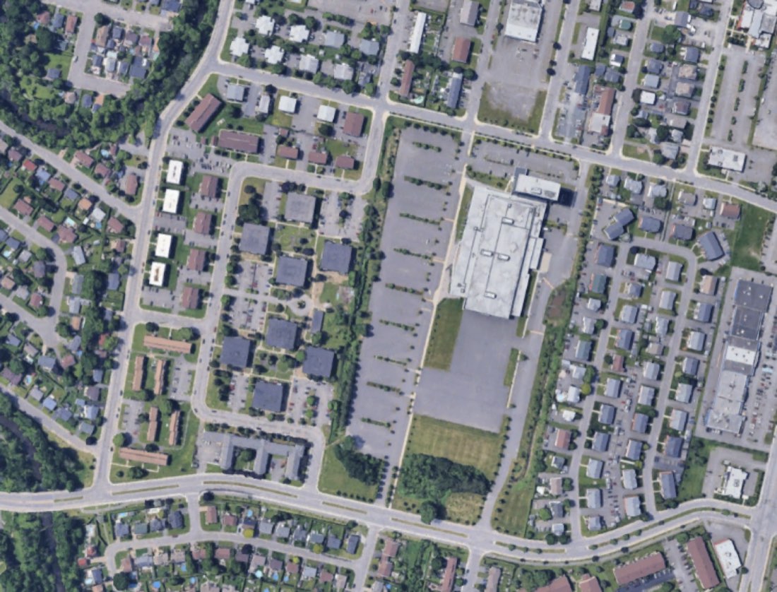
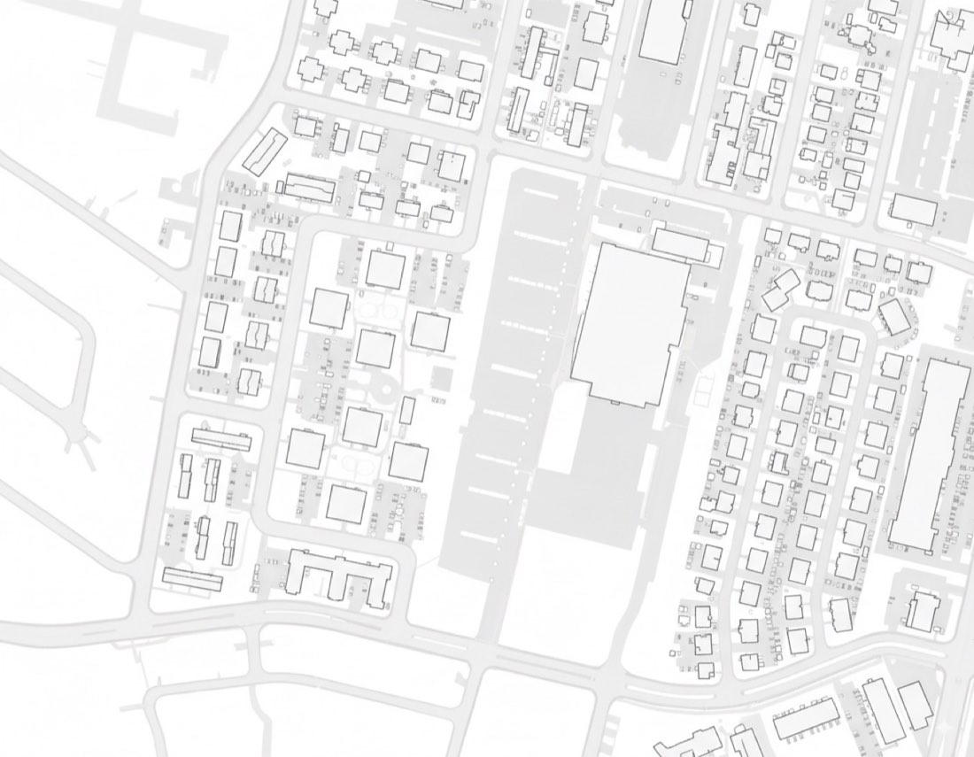
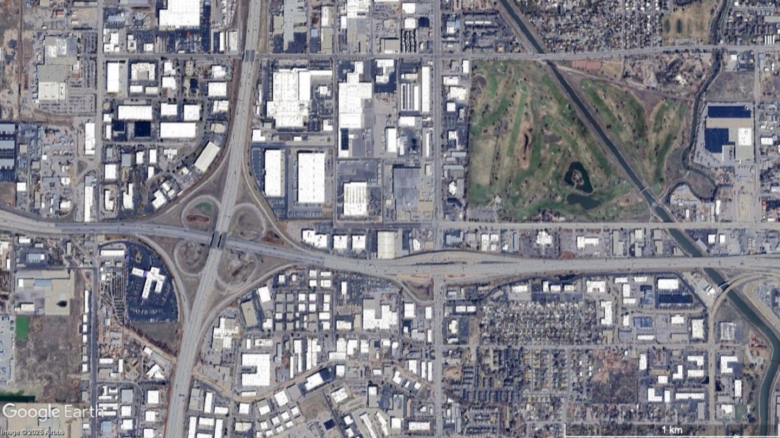
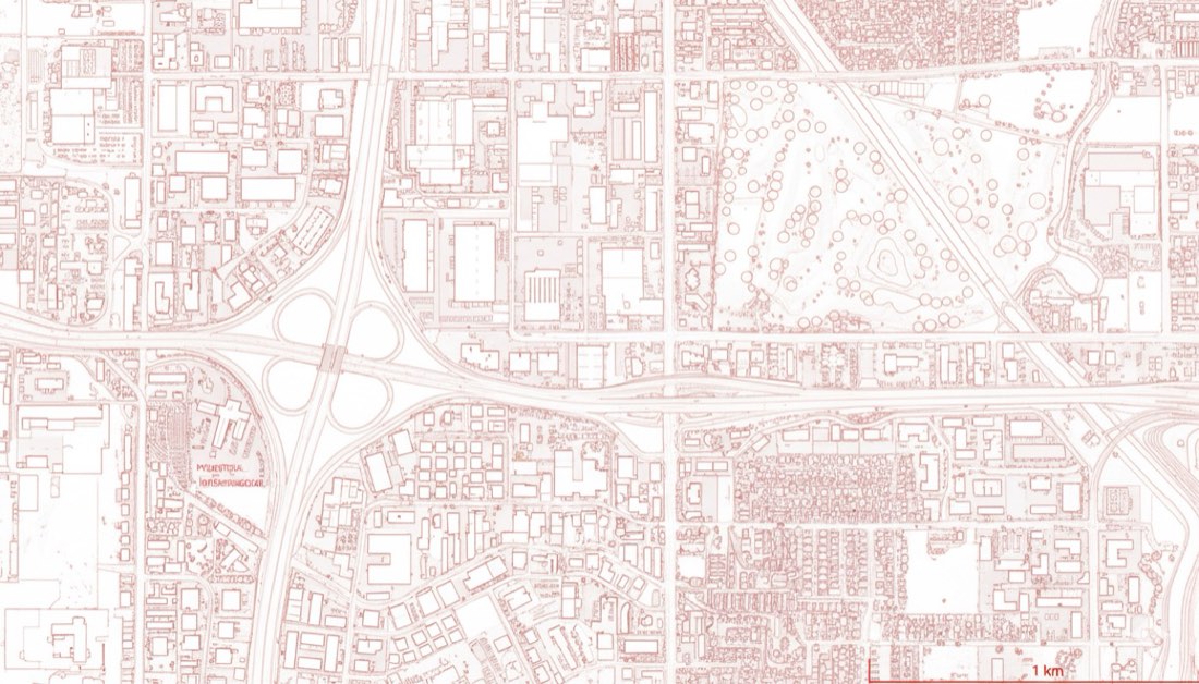
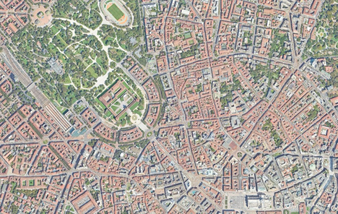
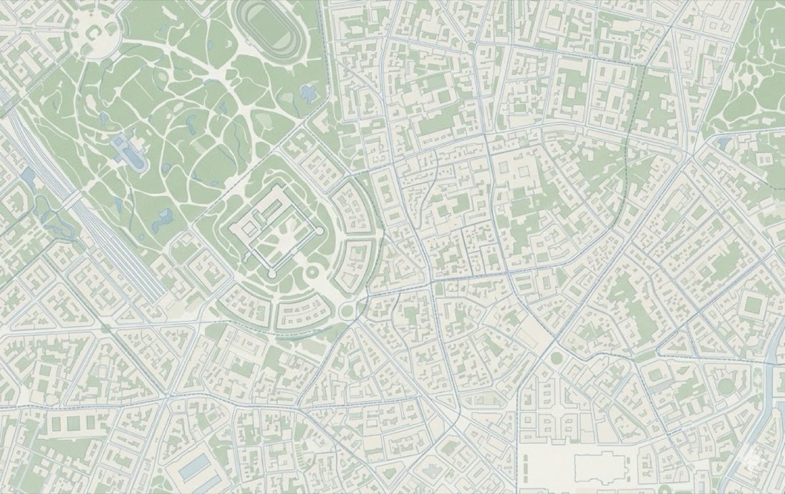
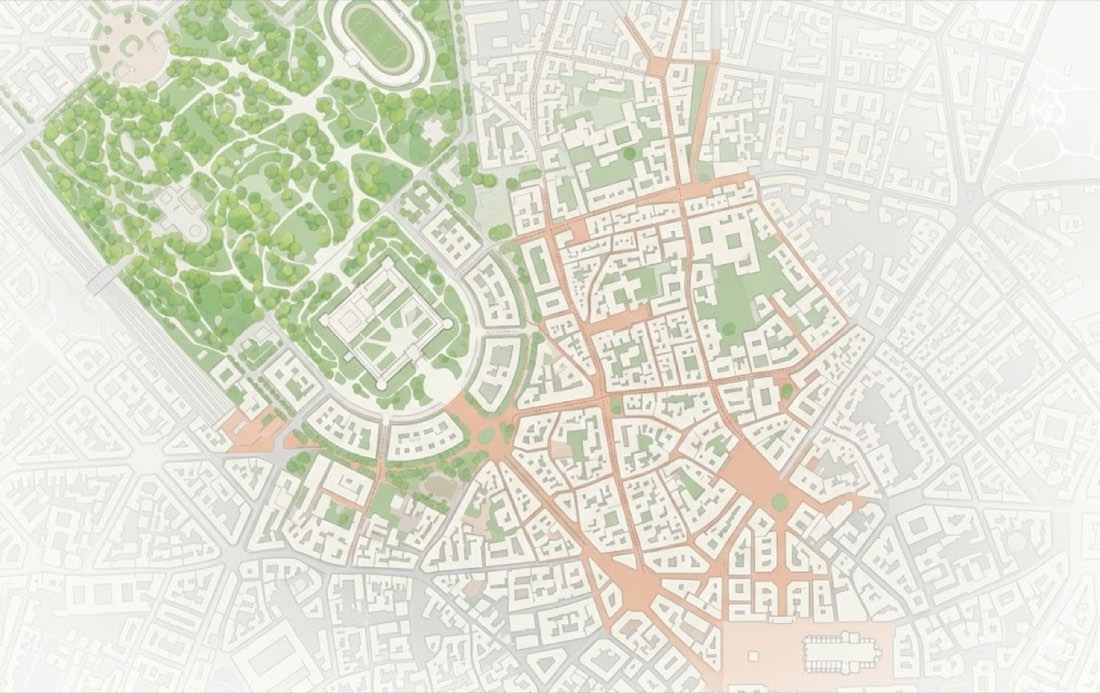
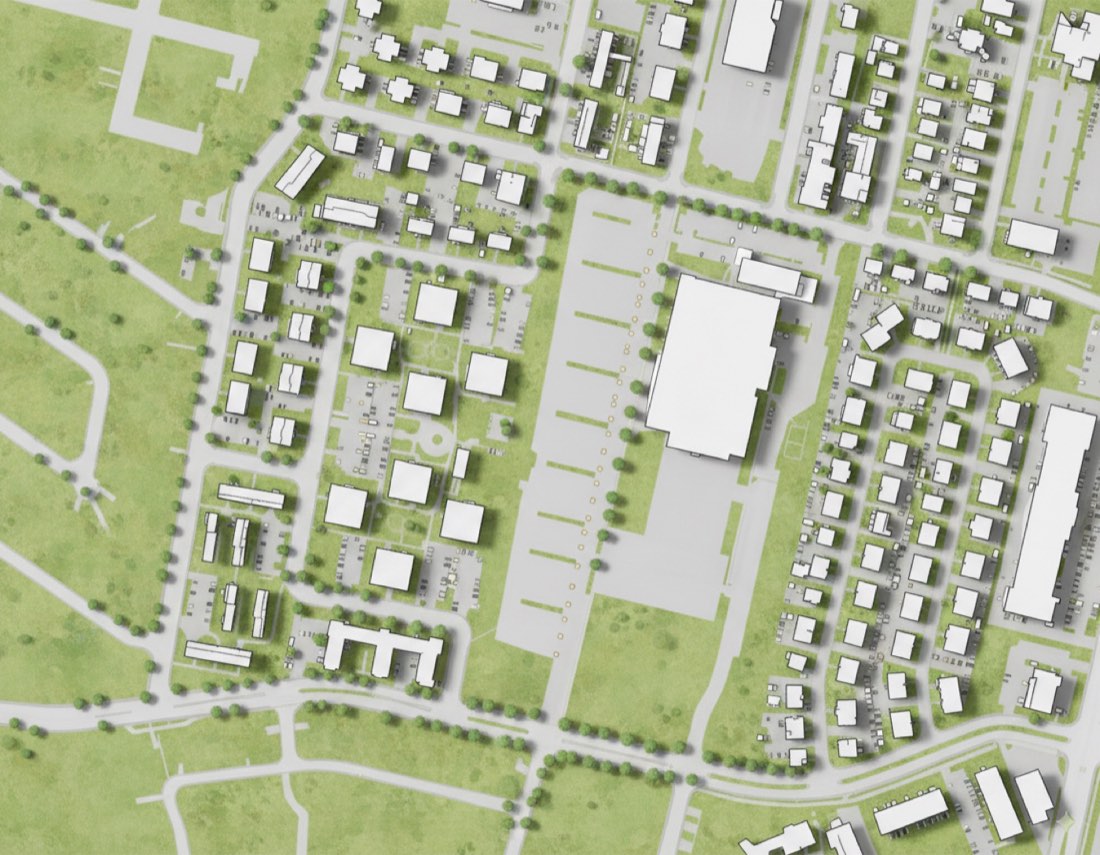
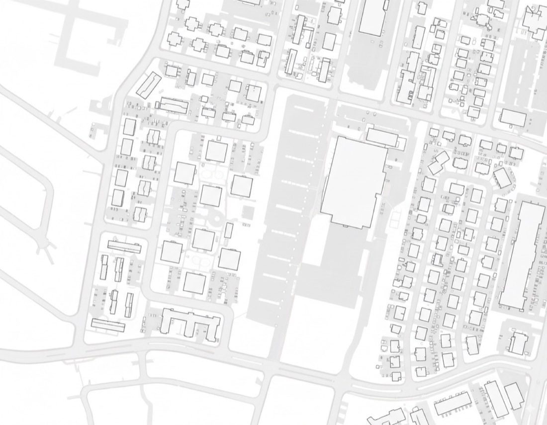
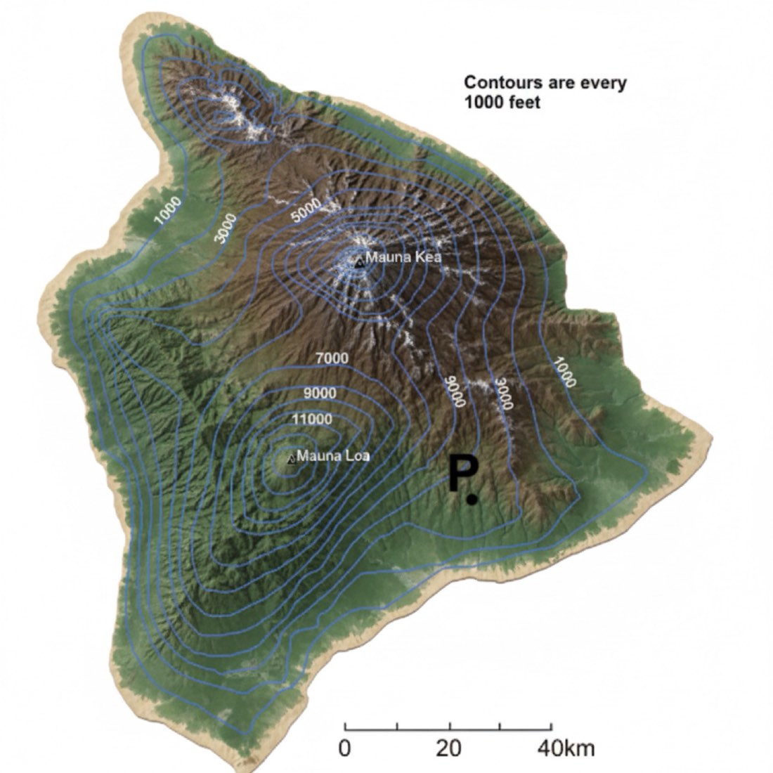
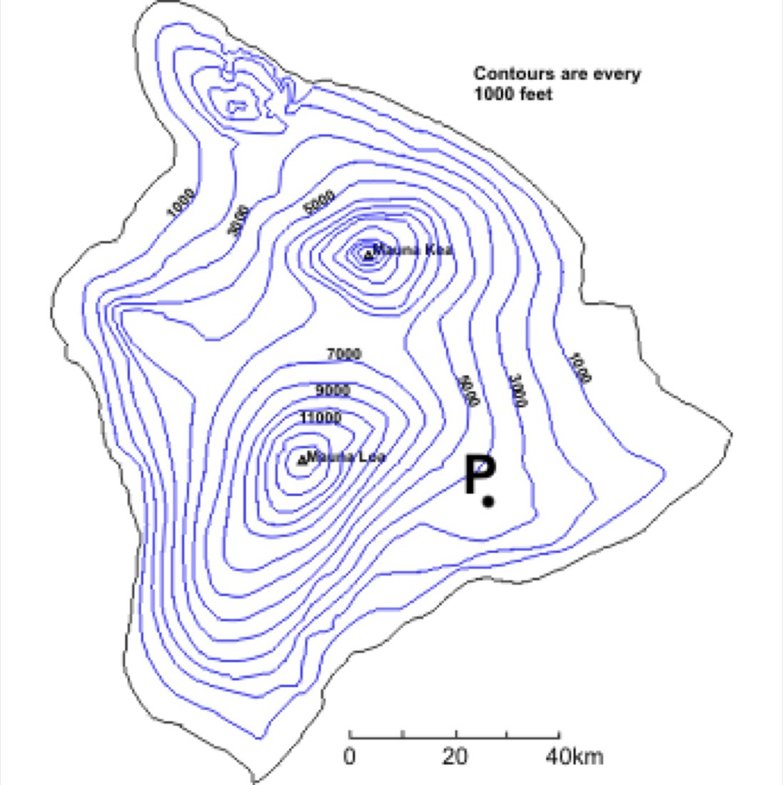
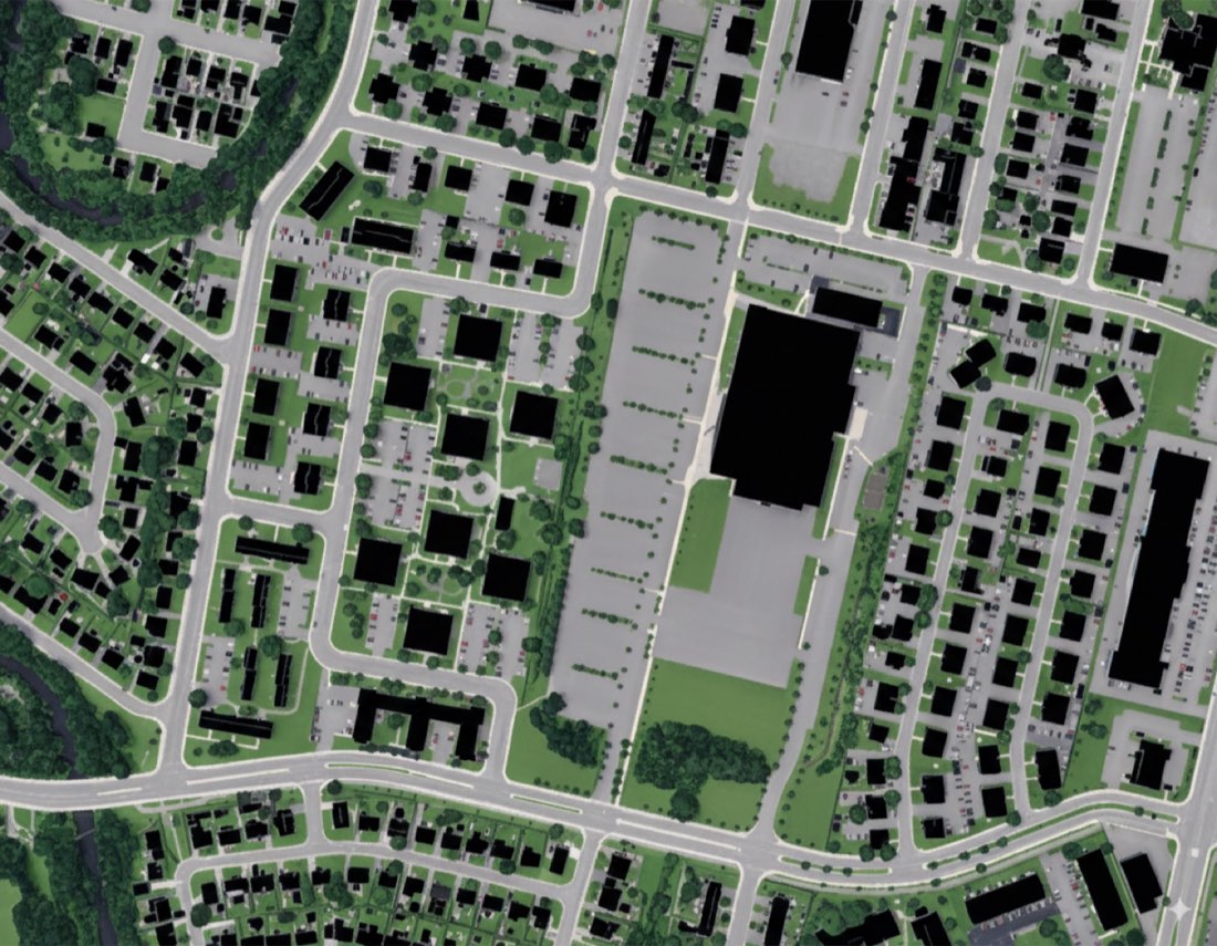 原图Nano Banana(ChatGPT 失败)
Nano Banana(ChatGPT 失败)
提示词
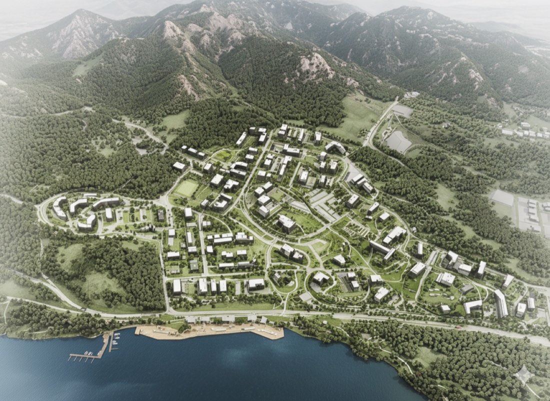
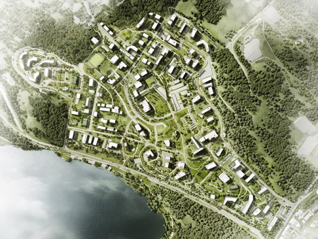
根据提供的卫星图,生成一张风格化且准确的轮廓地图。建筑表现为边缘干净的深色或黑色实心形状,道路为细白线或小路,绿地(公园、草坪、植被)为实心绿色色块。保持真实的比例,保留卫星图中的布局和空间关系。整体构图极简、干净,适合城市或建筑场地分析——顶视图,扁平图形风格,高对比度,可直接用于汇报。 下一步:
Based on the provided satellite image, generate a stylized and accurate outline map. Represent buildings as solid dark or black shapes with clean edges, roads as thin white lines or paths, and green areas (parks, lawns, vegetation) as solid green color blocks. Maintain realistic scale and proportions, and preserve the layout and spatial relationships from the satellite image. The overall composition should be minimal, clean, and suitable for urban or architectural site analysis — top-down view, flat graphic style, high contrast, and presentation-ready. NEXT STEP: